Pochuta facts for kids
Quick facts for kids
Pochuta
|
|
|---|---|
|
Municipality and town
|
|
| Country | |
| Department | |
| Area | |
| • Total | 70 sq mi (170 km2) |
| Elevation | 3,005 ft (916 m) |
| Time zone | UTC+6 (Central Time) |
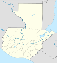
Pochuta is a town and a special area (called a municipality) in the Chimaltenango department of Guatemala. Think of a municipality like a local government area.
Discovering Pochuta's Past
Pochuta has a long history! During the time when Spain ruled Guatemala, it was known as "San Miguel Pochuta." In 1921, it officially became a municipality, which means it got its own local government.
This area covers about 170 square kilometers (that's about 65 square miles). The main town of Pochuta is located high up, about 916 meters (or 3,005 feet) above sea level. Imagine living that high!
Every year in September, the people of Pochuta have big celebrations. These parties happen after a special day dedicated to Michael Archangel, who is an important figure in their religion.
What Does 'Pochuta' Mean?
The name "Pochuta" has a cool meaning! It comes from the Nahuatl words Pochotl or Pochotla. These words mean "Place of ceibas." A ceiba is a very tall and important tree found in Central America.
Where is Pochuta Located?
Pochuta is surrounded by other municipalities from the Chimaltenango Department. On its western side, it borders San Lucas Tolimán, which is a municipality in the Sololá Department.
 |
Patzún |  |
||
| San Lucas Tolimán, Sololá Department municipality | Acatenango | |||
| Yepocapa |
See also
 In Spanish: Pochuta para niños
 | Delilah Pierce |
 | Gordon Parks |
 | Augusta Savage |
 | Charles Ethan Porter |


