Ponor Saddle facts for kids
Ponor Saddle is a flat, ice-covered area in Antarctica. It's like a low pass between two mountains, Mount Allen and Mount Liptak. This saddle is about 1.6 kilometers (1 mile) long and sits very high up, at 2,000 meters (about 6,560 feet) above sea level!
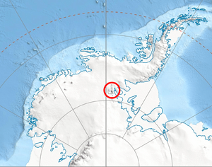
You can find Ponor Saddle in the southern part of the Sentinel Range, which is a mountain range within the larger Ellsworth Mountains. This icy saddle also helps separate two glaciers, the Bolgrad Glacier and the Kornicker Glacier.
The name "Ponor Saddle" comes from a small town called Ponor in western Bulgaria.
Where is Ponor Saddle?
The middle of Ponor Saddle is located at coordinates 78°43′00″S 84°58′00″W / 78.71667°S 84.96667°W. This means it's in a very cold and remote part of Antarctica!
To give you a better idea of its location:
- It's about 1.44 kilometers (0.9 miles) north of Mount Liptak.
- It's about 4 kilometers (2.5 miles) east-southeast of Krusha Peak.
- It's about 2.38 kilometers (1.5 miles) south-southeast of Mount Allen.
These distances were measured by the United States in 1988.
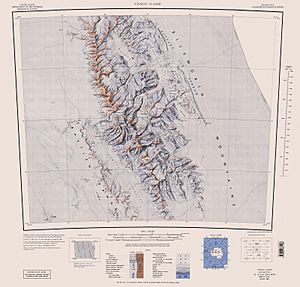
Maps of the Area
To see Ponor Saddle and the mountains around it, you would need a special map of Antarctica. These maps help scientists and explorers understand the icy landscape.


