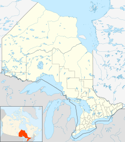
Porphyry Island facts for kids
| Geography | |
|---|---|
| Location | Lake Superior |
| Coordinates | 48°21′02″N 88°38′09″W / 48.35056°N 88.63583°W |
| Area | 107 ha (260 acres) |
| Length | 3 km (1.9 mi) |
| Width | 0.5 km (0.31 mi) |
| Administration | |
|
Canada
|
|
| Province | Ontario |
| District | Thunder Bay |
| Demographics | |
| Population | uninhabited nature reserve |
Porphyry Island is a cool island located in Lake Superior, which is one of the Great Lakes in Canada. You can find it in the Thunder Bay District of Ontario. This island is the very last one in a line of islands that stretch southwest from the Black Bay Peninsula.
Porphyry Island is about 6 kilometers (4 miles) from Edward Island Provincial Park. It's also around 13 kilometers (8 miles) from Sleeping Giant Provincial Park. If you travel east, it's about 14 kilometers (9 miles) from Silver Islet, Ontario. The city of Thunder Bay is about 42 kilometers (26 miles) to the west.
The island and its special nature reserve get their name from the rocks found there. These rocks contain unique crystals called porphyries. These crystals are made of quartz and feldspar.
The whole island is about 107 hectares (264 acres) in size. It is protected as the Porphyry Island Provincial Park. This means it's a special place where nature is kept safe and undisturbed.
Point Porphyry Lighthouse: A Guiding Light
History of the Lighthouse
A lighthouse was built on Porphyry Island way back in 1873. The Canadian government set it up to help ships navigate safely. This important lighthouse is located at the very southwestern tip of the island. It has been a guiding light for many years.
 | William L. Dawson |
 | W. E. B. Du Bois |
 | Harry Belafonte |


