Promontory Point (Utah) facts for kids
Quick facts for kids Promontory Point |
|
|---|---|
| Location | Box Elder County, Utah United States |
| Coordinates | 41°13′20″N 112°24′41″W / 41.22222°N 112.41139°W |
| Range | Promontory Mountains |
| Offshore water bodies | Great Salt Lake |
| Elevation | 4,912 feet (1,497 m) |
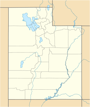
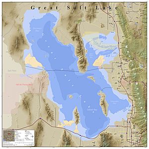
Promontory Point is a special piece of land that sticks out into the Great Salt Lake in Utah, United States. Think of it like a finger pointing into the water! It's the very southern tip of a larger land area called the Promontory Mountains. This area is located in Box Elder County.
What is Promontory Point?
Promontory Point is a cape, which is a high point of land that reaches out into a lake or ocean. It's part of a peninsula, which is land surrounded by water on three sides.
Where is Promontory Point Located?
This cape is about 3 miles (4.8 km) northwest of Fremont Island. It's also very close to a famous railway line called the Lucin Cutoff. This railway passes about 1,250 feet (380 m) north of the point itself.
Promontory Point vs. Promontory Summit
It can be a bit confusing because two different places are sometimes called "Promontory Point."
- The first is the actual Promontory Point we are talking about, which is the cape sticking into the Great Salt Lake.
- The second is Promontory Summit, which is a place about 30 miles (48 km) north of the cape. This Promontory Summit is super famous in American history! It's where the First Transcontinental Railroad was finished in 1869. This railroad connected the eastern and western parts of the United States, making travel and trade much faster.
So, while they share a similar name, remember that Promontory Point is the landform by the lake, and Promontory Summit is the historic railroad site!
 | James B. Knighten |
 | Azellia White |
 | Willa Brown |


