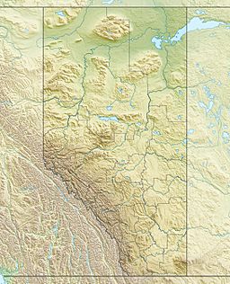
Red Deer Lake (Alberta) facts for kids
Quick facts for kids Red Deer Lake |
|
|---|---|
| Location | Ponoka County / Camrose County / County of Wetaskiwin No. 10, Alberta |
| Coordinates | 52°42′27″N 113°01′59″W / 52.70750°N 113.03306°W |
| Primary outflows | Battle River |
| Basin countries | Canada |
| Max. length | 15 kilometres (9.3 mi) |
| Max. width | 3.4 kilometres (2.1 mi) |
| Surface area | 21 square kilometres (8.1 sq mi) |
| Surface elevation | 768.6 metres (2,522 ft) |
Red Deer Lake is a freshwater lake found in central Alberta, Canada. It is located close to the town of Bashaw.
Contents
About Red Deer Lake
Red Deer Lake is a large body of fresh water. It is known for being alkaline, which means it has a higher pH level than some other lakes.
Where is Red Deer Lake?
This lake is about 15 kilometers (9.3 miles) long. You can find it northwest of where Highway 21 and Highway 53 meet.
The lake sits across the edges of three different areas in Alberta. These are Ponoka County, Camrose County, and the County of Wetaskiwin No. 10.
How does the water flow?
Water flows out of Red Deer Lake through some marshy areas. These marshes then connect to the Battle River, which carries the water away.
What's happening to the water level?
Since 1974, the water level in Red Deer Lake has been slowly getting lower. For example, in 1974, the water level was 771.5 meters (about 2,531 feet) above sea level. By 2018, it had dropped to 768.6 meters (about 2,522 feet). This means the lake loses about 7 centimeters (about 2.7 inches) of water each year on average.
Scientists are not completely sure why the water level is dropping. One idea is that water might be seeping into the ground, a process called "losses to groundwater."
 | Selma Burke |
 | Pauline Powell Burns |
 | Frederick J. Brown |
 | Robert Blackburn |


