Rio Hondo bicycle path facts for kids
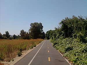
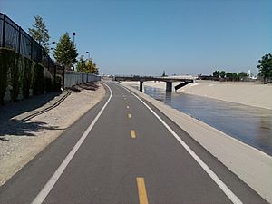
The Rio Hondo Bike Path is a special path just for bikes. It follows along the Rio Hondo, which is a creek, through a part of California called the San Gabriel Valley. This area is in the eastern part of Los Angeles County.
This bike path is mostly flat, making it easy to ride. It also has many green areas and tall, old trees. This makes it a very nice place to cycle compared to other bike paths nearby.
The Rio Hondo Bike Path is easy to get to because it's close to the El Monte Station. This is a big place where you can catch different types of public transport, like the MetroLink Silver Line train. Being so close to this station means you can easily reach many other bike paths and local parks from here.
Where Does the Path Go?
The Rio Hondo Bike Path starts in the northern part of the path. This beginning point is at the Peck Road Water Conservation Park, which is close to Monrovia.
From there, the path goes south. It follows a natural stream bed through a large outdoor area called the Whittier Narrows Recreation Area. Here, you can connect to another bike path, the San Gabriel River bicycle path, by taking the Legg Lake bike path.
The Rio Hondo bike path keeps going south. It eventually joins up with the Los Angeles River bicycle path. This meeting point is where the Rio Hondo creek flows into the Los Angeles River, in a city called South Gate. The Los Angeles River bike path then continues all the way to downtown Long Beach, ending right by the Pacific Ocean.
 | Selma Burke |
 | Pauline Powell Burns |
 | Frederick J. Brown |
 | Robert Blackburn |


