Rocky Gap, Virginia facts for kids
Rocky Gap is a small place in Bland County, Virginia. It's called an unincorporated community, which means it doesn't have its own local government like a city or town. Instead, it's part of the larger county. In 2016, about 511 people lived there. Rocky Gap has its own special zip code, which is 24366.
This community is connected to a nearby city, Bluefield, West Virginia, by a special road called the East River Mountain Tunnel. This tunnel helps Interstate 77, a major highway, pass right under East River Mountain. Rocky Gap is located in the middle of the Ridge-and-Valley Appalachians, a beautiful mountain area known for its long, parallel ridges and valleys.
Exploring Rocky Gap's Location
Rocky Gap sits right near the border with West Virginia. It's only about 8 miles away from Bluefield, West Virginia. This area covers about 4 square miles. Most of it, about 95%, is land. The other 5% is water.
Rivers and Fishing Spots
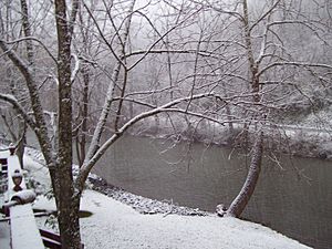
Even though there isn't much water, Rocky Gap has a unique feature. Three different waterways meet very close to each other here. These are Clear Fork, Laurel Fork, and Wolf Creek. They all come together within about 100 yards of each other. This special spot is famous for its large trout fish. Many people who love to fish, called anglers, come from all over Virginia and West Virginia to try their luck here.
Nearby Towns and Cities
Rocky Gap is close to several other interesting places. Here are some of the nearest cities and towns:
 | George Robert Carruthers |
 | Patricia Bath |
 | Jan Ernst Matzeliger |
 | Alexander Miles |


