Snahapish River facts for kids
Quick facts for kids Snahapish River |
|
|---|---|
|
Mouth of the Snahapish River in Washington
|
|
| Country | United States |
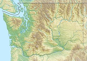
| State | Washington |
| Region | Olympic Peninsula |
| County | Jefferson |
| Physical characteristics | |
| Main source | Olympic Mountains Olympic Peninsula 735 ft (224 m) 47°45′41″N 124°8′0″W / 47.76139°N 124.13333°W |
| River mouth | Clearwater River Olympic Peninsula 270 ft (82 m) 47°39′18″N 124°10′36″W / 47.65500°N 124.17667°W |
| Length | 10.7 mi (17.2 km) |
| Basin features | |
| Basin size | 20 sq mi (52 km2) |
The Snahapish River is a river located in the United States. It flows through the state of Washington. This river is a branch, or tributary, of the Clearwater River. The Clearwater River then joins the larger Queets River.
The Snahapish River is about 10.7 miles (17.2 kilometers) long. The area of land that drains into this river, called its drainage basin, covers about 20 square miles (52 square kilometers).
River's Journey: Where it Starts and Ends
The Snahapish River begins in the Olympic Mountains. These mountains are found on the western side of the Olympic Peninsula in Washington. The river's starting point is a few miles south of the Hoh River. It is also about one mile east of a place called Mount Octopus.
From its source, the Snahapish River flows south. It travels through a wide valley. Finally, the river empties into the Clearwater River. This meeting point is near a spot known as Coppermine Bottom Campground. A road called Clearwater Road runs alongside most of the river's path.
 | Precious Adams |
 | Lauren Anderson |
 | Janet Collins |


