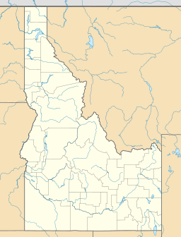
Stripe Mountain is a very tall mountain located in the state of Idaho in the United States. It's a part of the larger Rocky Mountains and the Bitterroot Range. This mountain is special because it's the highest point in the entire Clearwater Mountains range.
Stripe Mountain's top, called its summit, reaches an amazing height of 9,001 ft (2,744 m)! The mountain's long ridge acts like a natural border between two areas in Idaho: Idaho County and Lemhi County.
Most of Stripe Mountain is protected land. The part in Idaho County is within the Bitterroot National Forest. The part in Lemhi County is inside the Salmon-Challis National Forest. The whole mountain is also part of a huge protected area called the Frank Church-River of No Return Wilderness Area. This means the mountain and its surroundings are kept wild and natural.


