Summit Lakes (Ontario) facts for kids
Quick facts for kids Summit Lakes |
|
|---|---|
| Location | Temagami, Nipissing District, Ontario |
| Coordinates | 47°01′29″N 79°45′28″W / 47.02472°N 79.75778°W |
| Part of | Ottawa River drainage basin |
| Primary outflows | Unnamed creek to Upper Twin Lake |
| Basin countries | Canada |
| Surface elevation | 340 m (1,120 ft) |
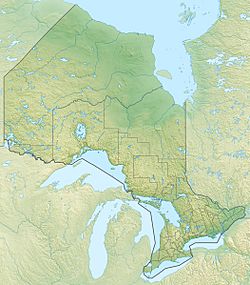
The Summit Lakes are two lakes found in Nipissing District, Ontario, Canada. They are located about 5 kilometres (3.1 mi) southeast of a town called Temagami. These two lakes are connected by a small creek. A railway line, the Ontario Northland Railway, crosses the southern part of the south lake on a special bridge called a trestle.
Contents
Understanding Summit Lakes: Size and Flow
The Summit Lakes are made up of a north lake and a south lake. Both lakes are at an elevation of 340 metres (1,115 ft) above sea level.
North Lake Details
The north lake is about 540 metres (1,772 ft) long. It is also about 340 metres (1,115 ft) wide. A short, unnamed creek flows out from the south side of this lake.
South Lake Details
The south lake is larger than the north lake. It is about 800 metres (2,625 ft) long. Its width is around 400 metres (1,312 ft). The creek from the north lake flows into the north side of the south lake. The south lake also gets water from another unnamed creek at its northeast end.
How Water Flows from Summit Lakes
The main way water leaves the Summit Lakes is through an unnamed creek. This creek flows from the south end of the south lake. It then goes into Upper Twin Lake. From there, the water travels through a series of other waterways. These include Rabbit Creek, Rabbit Lake, and the Matabitchuan River. Eventually, the water reaches Lake Timiskaming and then the Ottawa River. Finally, it flows into the St. Lawrence River, which leads to the Atlantic Ocean.


