Sun Valley, Arizona facts for kids
Quick facts for kids
Sun Valley, Arizona
|
|
|---|---|
|
Unincorporated community and Census-designated place
|
|

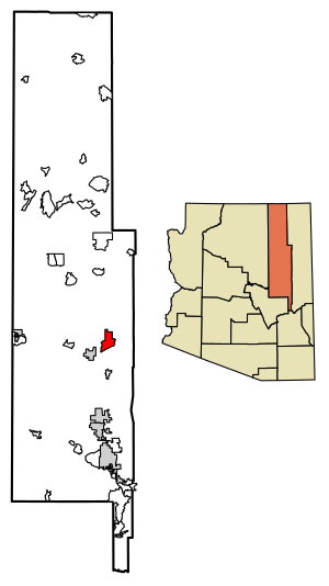
Location of Sun Valley in Navajo County, Arizona.
|
|
| Country | United States |
| State | Arizona |
| County | Navajo |
| Area | |
| • Total | 31.61 sq mi (81.87 km2) |
| • Land | 31.56 sq mi (81.74 km2) |
| • Water | 0.05 sq mi (0.13 km2) |
| Elevation | 5,305 ft (1,617 m) |
| Population
(2010)
|
|
| • Total | 316 |
| Time zone | UTC-7 (Mountain (MST)) |
| ZIP code |
86029
|
| Area code(s) | 928 |
| GNIS feature ID | 2582872 |
Sun Valley is a small community in Navajo County, Arizona. It is located east of Holbrook. You can find it along Interstate 40, a major highway.
Sun Valley is part of the beautiful Painted Desert. This area is known for its colorful rocks and unique landscapes. The community covers about 31.6 square miles.
History of Sun Valley
Sun Valley has always been a quiet place. It sits along the historic Route 66 and the newer Interstate 40. Not much is known about how the community first started.
It has remained a mostly rural area. This means it has lots of open land and not many buildings. Ranching, which is raising cattle, has been a big activity here. You can still see large ranches around Sun Valley. Cattle often roam freely across the landscape.
Who Lives in Sun Valley?
According to the 2010 census, 316 people lived in Sun Valley. These people made up 88 households. Among them, 56 were families.
Learning in Sun Valley
Students in Sun Valley attend schools in the Holbrook Unified School District. The local high school for students in this area is Holbrook High School.
See also
 In Spanish: Sun Valley (Arizona) para niños
 | Sharif Bey |
 | Hale Woodruff |
 | Richmond Barthé |
 | Purvis Young |


