Tamiami, Florida facts for kids
Quick facts for kids
Tamiami, Florida
|
|
|---|---|
Tamiami suburb
|
|
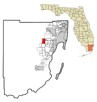
Location in Miami-Dade County and the state of Florida
|
|
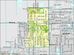
U.S. Census Bureau map showing CDP boundaries
|
|
| Country | |
| State | |
| County | |
| Area | |
| • Total | 7.43 sq mi (19.24 km2) |
| • Land | 7.05 sq mi (18.25 km2) |
| • Water | 0.38 sq mi (0.98 km2) |
| Elevation | 7 ft (2 m) |
| Population
(2020)
|
|
| • Total | 54,212 |
| • Density | 7,692.92/sq mi (2,970.18/km2) |
| Time zone | UTC-5 (Eastern (EST)) |
| • Summer (DST) | UTC-4 (EDT) |
| ZIP Codes |
33175, 33182, 33184 (Miami)
|
| Area code(s) | 305, 786, 645 |
| FIPS code | 12-70700 |
| GNIS feature ID | 1867216 |
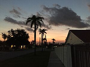
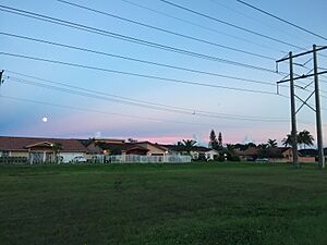
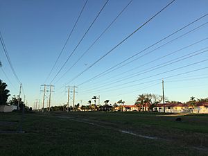
Tamiami is a community in Miami-Dade County, Florida, United States. It's a special kind of place called a census-designated place (CDP). This means it's like a town but not officially a city. Tamiami is part of the big Miami metropolitan area in South Florida. In 2020, about 54,212 people lived there.
What's in a Name?
The name Tamiami is a mix of two city names: Tampa and Miami. It comes from the Tamiami Trail. This is a road that goes through the Everglades. It connects Tampa and Miami.
The way you say "Tamiami" is "tammy-ammy". It's not "tam-my-ammy".
Where is Tamiami Located?
Tamiami is about 14 miles west of downtown Miami. It is located at coordinates 25°45′18″N 80°24′13″W.
- To the east, Tamiami borders Sweetwater and Westchester.
- To the southeast, it borders Westwood Lakes.
- To the south, it borders Kendale Lakes.
U.S. Route 41, also known as the Tamiami Trail, runs through the middle of the community. This road goes east into Miami. It goes west through the Everglades for 95 miles to Naples. Tampa is even further north, about 160 miles past Naples.
The Tamiami CDP covers a total area of about 7.4 square miles. A small part of this, about 0.4 square miles, is water.
How Many People Live Here?
The number of people living in Tamiami has changed over the years:
- In 1980, there were 17,607 people.
- By 1990, the population grew to 33,845.
- In 2000, it was 54,788.
- In 2010, the population was 55,271.
- In the most recent count in 2020, there were 54,212 people.
Tamiami's Diverse Community
In 2020, there were 54,212 people living in Tamiami. These people lived in 17,016 households. About 13,558 of these were families.
Tamiami is a very diverse place. Most people in Tamiami are of Hispanic or Latino background. In 2020, about 92.38% of the population identified as Hispanic or Latino. People of Hispanic or Latino origin can be of any race.
Other groups living in Tamiami include:
- White (not Hispanic): 5.92%
- Black or African American (not Hispanic): 0.35%
- Asian (not Hispanic): 0.60%
- People of two or more races (not Hispanic): 0.46%
Schools in Tamiami
Public schools in Tamiami are managed by Miami-Dade County Public Schools.
Elementary Schools
- Marjory Stoneman Douglas Elementary School
- Greenglade Elementary School
- Joe Hall Elementary School
- Zora Neale Hurston Elementary School
- Wesley Matthews Elementary School
- Village Green Elementary School
Middle Schools
- Paul W. Bell Middle School
- W. R. Thomas Middle School
Private Schools
The Roman Catholic Archdiocese of Miami runs Catholic schools in the area.
- St. Kevin School is located in Tamiami. It first opened in August 1980.
- Belen Jesuit Preparatory School is also found in Tamiami.
See Also
 In Spanish: Tamiami (Florida) para niños
 | Misty Copeland |
 | Raven Wilkinson |
 | Debra Austin |
 | Aesha Ash |


