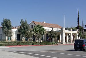
Tecate, California facts for kids
Quick facts for kids
Tecate
|
|
|---|---|

|
|
| Country | |
| State | |
| County | |
| Elevation | 1,778 ft (542 m) |
| Population
(2000)
|
|
| • Total | 207 (71.01% of the population is Hispanic or Latino of any race) |
| Time zone | UTC-8 (Pacific (PST)) |
| • Summer (DST) | UTC-7 (PDT) |
| ZIP codes |
91980
|
| Area code(s) | 619 |
| GNIS feature ID | 1661553 |
Tecate is a small community in San Diego County, California. It is located right next to the border between the United States and Mexico. Across the border is a larger Mexican city also called Tecate. Because it is smaller, the community in California is sometimes called Tecatito, which means "Little Tecate."
This area is known for its border crossing where people and goods can move between the two countries. It is also close to Tecate Peak, a local mountain. The area around Tecate is quiet and natural, about an hour's drive from downtown San Diego.
About Tecate
Tecate is an unincorporated community. This means it is a place with a group of homes and businesses, but it does not have its own local government like a city does. Instead, it is governed by San Diego County.
Location and Geography
Tecate is found in the Mountain Empire area of southeastern San Diego County. This region is known for its mountains and natural landscapes. The community sits right on the border with Mexico.
The land around Tecate is rugged and natural. It is a peaceful place, different from the busy city areas. The community's elevation is about 1,778 feet (542 meters) above sea level.
The Border Crossing
The Tecate Port of Entry is a very important part of this community. It is one of the places where people can cross the border between the United States and Mexico. This crossing helps connect the two Tecate communities. It also allows for trade and travel between the two countries.
See also
 In Spanish: Tecate (California) para niños
 | May Edward Chinn |
 | Rebecca Cole |
 | Alexa Canady |
 | Dorothy Lavinia Brown |


