Thumb Area Bottomland Preserve facts for kids
Quick facts for kids Thumb Area Underwater Preserve |
|
|---|---|
| Location | Lake Huron, Huron County, Michigan USA |
| Nearest city | Port Austin, Michigan |
| Area | 276 square miles (710 km2) |
| Governing body | Michigan Department of Natural Resources |
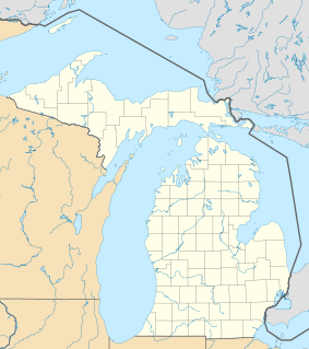
The Thumb Area Underwater Preserve is a special protected area in Lake Huron, a large lake in the U.S. state of Michigan. It covers about 276 square miles (710 km2) of water. This preserve is located off the coast of a part of Michigan shaped like a thumb, north of the city of Detroit.
Exploring the Thumb Area Preserve
The Thumb Area Underwater Preserve helps protect the lake bottom, also known as "bottomlands." These areas are found near Pointe aux Barques and the towns of Harbor Beach, Huron City, and Port Austin. These towns are all located on Michigan's "Thumb" coastline.
Shipwrecks and History Underwater
One of the main reasons this area is protected is because of the many shipwrecks found here. The Michigan Department of Environmental Quality has found at least 10 known shipwrecks within the preserve's boundaries. These sunken ships tell stories of the past.
Many of these shipwrecks happened before 1915. This was when the United States Coast Guard was formed to help keep ships safe. Before then, there were fewer rules and safety measures for boats on the Great Lakes. This meant more ships could get into trouble and sink.
Underwater Caves and Ancient Quarries
The preserve also protects a network of cool limestone sea caves near Port Austin. These caves are natural formations under the water.
Close to Port Austin is a place called Grindstone City. This used to be a busy town where people dug up special stones called grindstones. Some of these heavy stones fell into the lake near the quarries. Even today, you can still see some of these grindstones underwater.
 | James Van Der Zee |
 | Alma Thomas |
 | Ellis Wilson |
 | Margaret Taylor-Burroughs |


