Tonto Creek facts for kids
Quick facts for kids Tonto Creek |
|
|---|---|

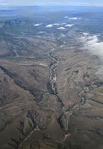
Tonto Creek (right and foreground) with tributary Rye Creek (center background)
|
|
| Country | United States |
| State | Arizona |
| County | Gila and Coconino |
| Physical characteristics | |
| Main source | 7,640 feet (2,330 m) 34°23′37″N 111°04′52″W / 34.39361°N 111.08111°W |
| River mouth | Theodore Roosevelt Lake 2,096 feet (639 m) 33°40′48″N 111°09′05″W / 33.68000°N 111.15139°W |
| Length | 72.5 miles (116.7 km) |
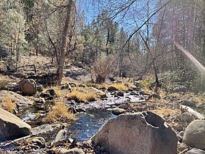
Tonto Creek is a stream in Arizona, United States. It is about 72.5-mile-long (116.7 km). The creek flows through the beautiful Mogollon Rim area. This is on the northern edge of the Tonto National Forest. The closest town, Payson, is about 18 miles (29 km) away. Tonto Creek flows all year round. It starts just below the Mogollon Rim. This is the northern part of the Tonto National Forest.
The creek travels through the wild Hellsgate Wilderness area. Then it moves into a wide valley in the Sonoran Desert. It continues through the desert until it reaches the Salt River. This happens inside the northern part of Theodore Roosevelt Lake. The United States Forest Service helps take care of the creek and its surrounding areas. They are part of the USDA.
What Fish Live in Tonto Creek?
Tonto Creek is a great place for fishing. Many types of fish live in its cool waters. You can find different kinds of trout here.
These fish need clean, cold water to live. Tonto Creek provides a good home for them.
 | William L. Dawson |
 | W. E. B. Du Bois |
 | Harry Belafonte |


