Tour du Marboré facts for kids
Quick facts for kids Tour du Marboré |
|
|---|---|

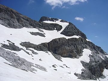
View of the south face in summer
|
|
| Highest point | |
| Elevation | 3,009 m (9,872 ft) |
| Listing | List of Pyrenean three-thousanders |
| Geography | |
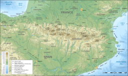
| Location | France — Spain |
| Région Communauté |
Midi-Pyrénées Aragon |
| Département Province |
Hautes-Pyrénées Huesca |
| Parent range | Massif du Mont-Perdu (Pyrenees) |
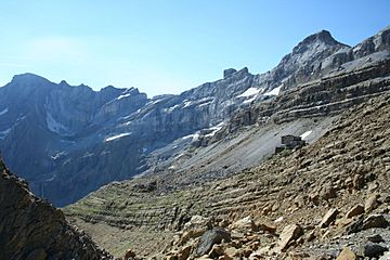
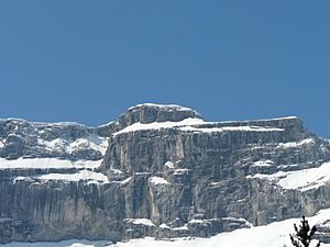
The Tour du Marboré (also called Tour de Gavarnie) is a tall mountain peak in the Pyrenees mountain range. It stands at 3,009 m (9,872 ft) (about 9,872 feet) high. This mountain is special because it sits right on the border between France and Spain, within the Monte Perdido Range.

Contents
Where is the Tour du Marboré located?
The Tour du Marboré is part of the mountains that rise above the Cirque de Gavarnie. This mountain marks the border between two important national parks:
French side of the mountain
On the French side, the mountain is found in a place called Gavarnie. This area is part of the Hautes-Pyrénées department, which is in the Midi-Pyrénées region of France.
Spanish side of the mountain
On the Spanish side, the mountain is located in a region called Sobrarbe. This area is part of the Huesca province, which is in the Aragon community of Spain.
Climbing the Tour du Marboré
People have been climbing the Tour du Marboré for many years. In 1956, two climbers named Jean Ravier and Claude Dufourmantelle successfully climbed the mountain from its northern side.
See also
 In Spanish: Pico Torre de Marboré para niños


