Webb Tract facts for kids

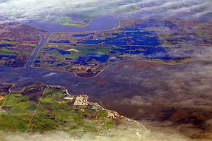
USGS aerial imagery of the Webb Tract
|
|
| Geography | |
|---|---|
| Location | Northern California |
| Coordinates | 38°04′47″N 121°36′32″W / 38.07972°N 121.60889°W |
| Adjacent bodies of water | Sacramento–San Joaquin River Delta |
| Highest elevation | -13 ft (-3.96 m) |
| Administration | |
|
United States
|
|
| State | |
| County | Contra Costa |

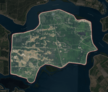
The Webb Tract is an island located in the Sacramento–San Joaquin River Delta in California. This area is a huge network of waterways where the Sacramento and San Joaquin rivers meet before flowing into the San Francisco Bay.
Webb Tract is part of Contra Costa County. It is managed by a group called Reclamation District 2026. A reclamation district is like a special local government that helps manage water levels and protect land from flooding, especially in areas that are very low.
What is Webb Tract?
Webb Tract is an island, which means it's a piece of land completely surrounded by water. It's found in the northern part of California. The island's exact location is 38°04′47″N 121°36′32″W / 38.07972°N 121.60889°W.
How Low is Webb Tract?
One interesting fact about Webb Tract is its elevation. In 1981, the United States Geological Survey (USGS) measured its elevation as −13 ft (−4.0 m). This means that parts of the island are actually 13 feet (about 4 meters) below sea level! This is why managing water and preventing floods is so important for the island.
 | May Edward Chinn |
 | Rebecca Cole |
 | Alexa Canady |
 | Dorothy Lavinia Brown |


