Agua Fria River facts for kids

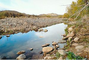
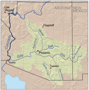
The Agua Fria River (which means "cold water" in Spanish) is a river in Arizona, United States. It is about 120 miles (193 km) long. This river is often dry, meaning water only flows in it after it rains a lot.
The Agua Fria River starts about 20 miles (32 km) east-northeast of Prescott, Arizona. The city of Prescott gets much of its water from the area where the Agua Fria begins.
Contents
Where Does the Agua Fria River Flow?
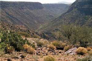
The Agua Fria River flows mostly south. It goes through a special protected area called the Agua Fria National Monument. After that, the river flows through a small canyon known as "Black Canyon."
The river then reaches Lake Pleasant. This is a popular spot for fun activities near Peoria, Arizona. You might hear about another "Black Canyon" on the Colorado River. That one is much bigger and is along the border of Arizona and Nevada.

Connecting to the Gila River
When there is enough rain, the Agua Fria River flows into the Gila River. The Gila River also only flows during wet times of the year. This means both rivers depend on rainfall to have water.
Helping Water Underground
The Central Arizona Water Conservation District runs a project called the Agua Fria Recharge Project. This project is about 4 miles (6 km) south of the New Waddell Dam. Its main job is to put water back into the ground. This helps to refill the underground water supplies, called aquifers, in the area. The project ends at Lake Pleasant, near Phoenix.

See also
 In Spanish: Río Agua Fría (Arizona) para niños
 | Stephanie Wilson |
 | Charles Bolden |
 | Ronald McNair |
 | Frederick D. Gregory |


