Agua Fria National Monument facts for kids
Quick facts for kids Agua Fria National Monument |
|
|---|---|
|
IUCN Category V (Protected Landscape/Seascape)
|
|
 |
|
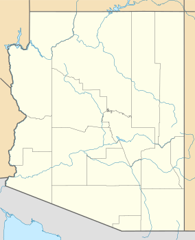
| Location | Yavapai County, Arizona, United States |
| Nearest city | Phoenix, Arizona |
| Area | 72,344 acres (113.038 sq mi; 292.77 km2) |
| Created | January 11, 2000 |
| Visitors | 80,000+ (in 2011) |
| Governing body | Bureau of Land Management |
| Website | Agua Fria National Monument |
The Agua Fria National Monument is a special protected area in Arizona, a state in the United States. It's about 40 miles (64 km) north of Phoenix, Arizona. This monument was created on January 11, 2000, by a special order from the President.
It covers a huge area of 72,344-acre (113 sq mi; 293 km2). The Bureau of Land Management (BLM) takes care of it. The BLM is part of the U.S. Department of the Interior. Even though the BLM already managed this land, making it a "monument" means it gets extra protection. This helps keep its amazing natural and historical treasures safe.
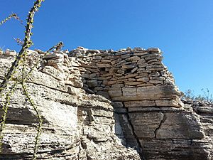
The monument is part of the BLM's National Landscape Conservation System. It's home to over 450 ancient Native American structures. Some of these are large pueblos, which are like old villages. Some pueblos have more than 100 rooms! This protected status also helps many plants and animals that live there.
Discovering Ancient History at Agua Fria

The Agua Fria National Monument is full of history. You can find thousands of ancient rock carvings called Petroglyphs here. These carvings show animals, cool shapes, and other symbols. They were made by Native Americans who lived in this area between 1250 and 1450 C.E. This group of people is known as the Perry Mesa Tradition.
Thousands of people lived here a long time ago. They built many villages and structures. You can also see old farming areas with terraces and irrigation systems. This shows that farming was very important to them. Besides ancient ruins, you might also find signs of 19th-century mining and old camps used by Basque sheep herders.
Exploring Nature and Wildlife
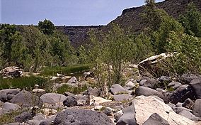
The monument has different types of land. It sits between 2,150 feet (660 m) and 4,600 feet (1,400 m) high. Most of it is dry grassland, but there are also green areas with cottonwood and willow trees along the Agua Fria River.
This area is a great place for animals.
- Over 140 different kinds of birds have been seen here.
- You might spot cool reptiles and amphibians. These include the leopard frog, the garter snake, and the slow-moving desert tortoise.
- Many mammals live here too. You can often see pronghorn, mule deer, white-tail deer, and javelina.
- Rarer animals like the elk, black bear, and mountain lion also call the monument home.
The 129-mile (208 km)-long Agua Fria River and its smaller streams are important for fish. They have native fish like the longfin dace, Gila mountain sucker, and speckled dace. Three types of endangered native fish also live here: the Gila intermedia, charalito, and desert pupfish.
In 2004, the BLM and the Sierra Club helped start a group called Friends of the Agua Fria National Monument. This group is a non-profit organization. They help the government protect and manage the monument. They also help teach people about this special place.
See also
 In Spanish: Monumento nacional de Agua Fria para niños
 | Shirley Ann Jackson |
 | Garett Morgan |
 | J. Ernest Wilkins Jr. |
 | Elijah McCoy |


