Anchialus Glacier facts for kids
Quick facts for kids Anchialus Glacier |
|
|---|---|

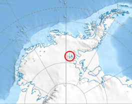
Location of Sentinel Range in Western Antarctica
|
|
| Type | tributary |
| Location | Ellsworth Land |
| Coordinates | 77°51′50″S 85°24′30″W / 77.86389°S 85.40833°W |
| Length | 5 nmi (9 km; 6 mi) |
| Width | 2 nmi (4 km; 2 mi) |
| Thickness | unknown |
| Terminus | Sentinel Range |
| Status | unknown |
Anchialus Glacier (which is lednik Anhiаlo in Bulgarian) is a large river of ice, also known as a glacier. It is about 8.5 kilometers (5.3 miles) long and 3.4 kilometers (2.1 miles) wide. You can find it in a place called Sostra Heights, on the eastern side of the northern Sentinel Range in the Ellsworth Mountains, Antarctica.
This glacier is located near other glaciers. It is north of the lower Embree Glacier, east of Sabazios Glacier, and south of the lower Newcomer Glacier. It is also northwest of Vit Ice Piedmont. The Anchialus Glacier collects ice and snow from the northeast slopes of Mount Malone and the west slopes of Bracken Peak. It then flows north and joins the Newcomer Glacier, east of Mount Lanning.
The glacier is named after an ancient town called Anchialus. This town was located in Southeastern Bulgaria.
Where is Anchialus Glacier?
Anchialus Glacier is located at 77°51′50″S 85°24′30″W / 77.86389°S 85.40833°W. This area was first mapped by the United States in 1961.
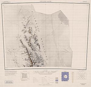
Maps of the Area
You can find maps that show the Anchialus Glacier and the surrounding areas. These maps help us understand its exact location and how it fits into the landscape of Antarctica.
 | George Robert Carruthers |
 | Patricia Bath |
 | Jan Ernst Matzeliger |
 | Alexander Miles |


