Blucher Creek facts for kids
Quick facts for kids Blucher Creek |
|
|---|---|

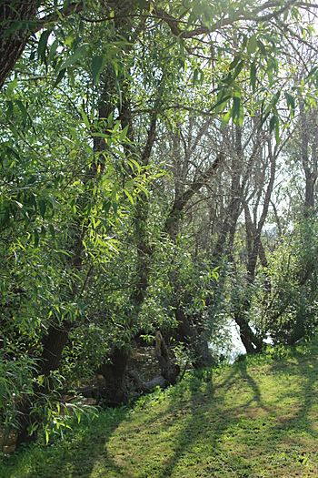
Blucher Creek at Todd Rd. near its confluence in the Laguna de Santa Rosa
|
|
| Country | United States |
| State | California |
| Region | Sonoma County |
| Physical characteristics | |
| Main source | English Hill 4 mi (6 km) south of Sebastopol, California 38°20′52″N 122°50′41″W / 38.34778°N 122.84472°W |
| River mouth | Laguna de Santa Rosa 6 mi (10 km) southwest of Santa Rosa, California 71 ft (22 m) 38°22′40″N 122°47′0″W / 38.37778°N 122.78333°W |
Blucher Creek is a small, natural waterway, also known as a stream. It flows for about 5.2-mile-long (8.4 km) in California, United States. This creek starts in the hills south of a town called Sebastopol. From there, it makes its way to a larger wetland area known as the Laguna de Santa Rosa.
Where Does Blucher Creek Flow?
Blucher Creek begins its journey on a place called English Hill. At first, it flows downhill towards the north. Soon after, the creek makes a turn and starts flowing eastward. It then runs alongside Blucher Valley Road.
Crossing Under Roads
As Blucher Creek continues its path, it goes under several roads. These include Bloomfield Road, Canfield Road, and Lone Pine Road. It also crosses beneath Gravenstein Highway, which is also known as State Route 116.
Reaching the Laguna de Santa Rosa
Finally, Blucher Creek reaches its end point. It joins with the Laguna de Santa Rosa. This meeting point is just west of Todd Road. The Laguna de Santa Rosa is an important wetland that helps filter water and provides a home for many plants and animals.
 | Janet Taylor Pickett |
 | Synthia Saint James |
 | Howardena Pindell |
 | Faith Ringgold |

