Buchanan Dam, Texas facts for kids
Quick facts for kids
Buchanan Dam, Texas
|
|
|---|---|

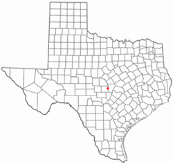
Location of Buchanan Dam, Texas
|
|
 |
|
| Country | United States |
| State | Texas |
| County | Llano |
| Area | |
| • Total | 20.22 sq mi (52.38 km2) |
| • Land | 7.75 sq mi (20.06 km2) |
| • Water | 12.48 sq mi (32.32 km2) |
| Elevation | 1,053 ft (321 m) |
| Population
(2020)
|
|
| • Total | 1,508 |
| • Density | 74.56/sq mi (28.790/km2) |
| Time zone | UTC-6 (Central (CST)) |
| • Summer (DST) | UTC-5 (CDT) |
| ZIP code |
78609
|
| Area code(s) | 512 |
| FIPS code | 48-10984 |
| GNIS feature ID | 1353114 |
Buchanan Dam (pronounced bək-HAN-ən) is a small community in Llano County, Texas, United States. It's known as a census-designated place (CDP). This means it's an area that looks like a town but isn't officially set up as one. In 2020, about 1,508 people lived here.
Contents
Where is Buchanan Dam Located?
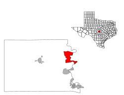
Buchanan Dam is found in the northeastern part of Llano County. It sits on the west and south sides of Lake Buchanan. This lake is a large reservoir on the Colorado River in Texas. The community also touches the south and west shores of Inks Lake, which is just downstream from Lake Buchanan. The area stretches north along Lake Buchanan all the way to a place called Bluffton.
You can reach Buchanan Dam by Texas State Highway 29. This highway crosses the Colorado River just south of the dam. Highway 29 goes east about 13 miles to Burnet and west about 16 miles to Llano. Another road, State Highway 261, goes north from Highway 29 along the west side of Lake Buchanan for about 8 miles to Bluffton.
The total area of Buchanan Dam is about 20.2 square miles (52.4 square kilometers). A big part of this area, about 61.70%, is water, mainly from the lakes.
Who Lives in Buchanan Dam?
| Historical population | |||
|---|---|---|---|
| Census | Pop. | %± | |
| 2020 | 1,508 | — | |
| U.S. Decennial Census 1850–1900 1910 1920 1930 1940 1950 1960 1970 1980 1990 2000 2010 |
|||
As of 2020, there were 1,508 people living in Buchanan Dam. These people lived in 642 households, with 451 of them being families. Most residents are White (86.87%), with smaller numbers of people from other racial backgrounds and those of Hispanic or Latino origin (7.49%).
Schools in Buchanan Dam
Students in Buchanan Dam attend schools that are part of the Burnet Consolidated Independent School District.
What's the Weather Like?
The weather in Buchanan Dam usually has hot and humid summers. The winters are generally mild to cool. This type of weather is known as a humid subtropical climate. On climate maps, you might see this climate type abbreviated as "Cfa".
See also
 In Spanish: Buchanan Dam para niños
 | Selma Burke |
 | Pauline Powell Burns |
 | Frederick J. Brown |
 | Robert Blackburn |

