Cordelia, California facts for kids
Quick facts for kids
Cordelia
|
|
|---|---|
| Country | United States |
| State | California |
| County | Solano |
| Metro area | San Francisco Bay Area |
| Elevation | 23 ft (7 m) |
| Time zone | UTC-8 (Pacific (PST)) |
| • Summer (DST) | UTC-7 (PDT) |
| Area code(s) | 707 |
| FIPS code | 06-00951 |
| GNIS feature ID | 218147 |
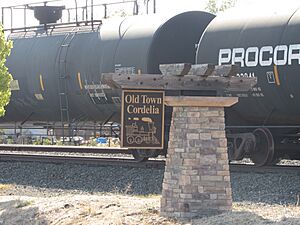
Cordelia is a small community in Solano County, California, United States. It is not a city with its own government, but a part of the larger county area. You can find Cordelia where major highways like Interstate 80, California State Route 12, and Interstate 680 meet. It's about 7 miles (11 km) west of Fairfield.
History of Cordelia
The community of Cordelia was started in 1853. It was founded by a sea captain named Robert H. Waterman. He sailed fast ships called clipper ships.
How Cordelia Got Its Name
When the town was first founded, Captain Waterman named it "Bridgeport." He chose this name because it reminded him of a town called Bridgeport, Connecticut back on the East Coast.
Around 1869, a post office was set up in the town. The United States Post Office Department asked for a more unique name. Captain Waterman had also named the nearby town of Fairfield after his old hometown. So, he decided to name this community "Cordelia" after his wife.
Early Services in Cordelia
In 1880, the famous Wells Fargo company opened an office in Cordelia. This meant people could send and receive mail and money more easily.
See also
 In Spanish: Cordelia (California) para niños
 | Delilah Pierce |
 | Gordon Parks |
 | Augusta Savage |
 | Charles Ethan Porter |


