Cottonwood Mountains (Inyo County) facts for kids
Quick facts for kids Cottonwood Mountains |
|
|---|---|
|
Cottonwood Mountains from a distance
|
|
| Highest point | |
| Elevation | 2,729 m (8,953 ft) |
| Geography | |
| Country | United States |
| State | California |
| District | Inyo County |
| Range coordinates | 36°27′43.794″N 117°19′38.231″W / 36.46216500°N 117.32728639°W |
| Topo map | USGS Panamint Butte |
The Cottonwood Mountains are a mountain range located in Death Valley National Park in Inyo County, California, United States. They are a cool part of the desert landscape, offering amazing views and unique features.
Discover the Cottonwood Mountains
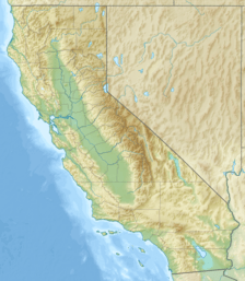
The Cottonwood Mountains are found in a famous place called Death Valley National Park. This park is in Inyo County, California, which is in the western United States. The mountains are just northwest of the Panamint Mountains. They run in a north-south direction at the top of Death Valley.
Highs and Lows of the Range
The Cottonwood Mountains have some interesting high and low points. The highest point is Tin Mountain. It is located at the northern end of the range. Tin Mountain reaches an elevation of 2,729 meters (about 8,953 feet).
At the southern end of the range, you will find Towne Pass. This pass is much lower, at 1,511 meters (about 4,957 feet). To the east of the Cottonwood Mountains are the Last Chance Range.
 | Claudette Colvin |
 | Myrlie Evers-Williams |
 | Alberta Odell Jones |


