Cowper County facts for kids
Quick facts for kids CowperNew South Wales |
|||||||||||||||
|---|---|---|---|---|---|---|---|---|---|---|---|---|---|---|---|

Location in New South Wales
|
|||||||||||||||
|
|||||||||||||||
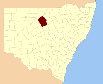
Cowper County, New South Wales is a special way Australia divides up land. It is one of 141 "cadastral divisions" in New South Wales. Think of it like an old-fashioned map area used for keeping track of land ownership.
This county is named after a very important person, Sir Charles Cowper (1807-1875). He was a politician who served as the Premier of New South Wales many times.
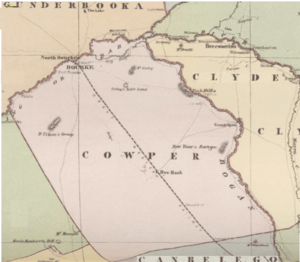
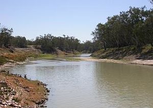
You can find Cowper County in the southeast part of Bourke. Two big rivers help mark its edges. The Darling River forms the boundary to the northwest. The Bogan River is on the northeast side.
Understanding Land Divisions in Cowper County
What are Parishes?
Inside each county, there are smaller areas called parishes. These are also land divisions, but they are much smaller than counties. They help local governments manage land.
Each parish has a specific location. It also belongs to a larger area called a Local Government Area (LGA). LGAs are like local councils that look after towns and communities.
Exploring Parishes in Cowper County
Cowper County has many parishes within its borders. Some examples include Annandale, Banga, and Barton. These parishes are spread across different LGAs. These include Cobar Shire, Bourke Shire, Bogan Shire, and Brewarrina Shire.
Each parish has its own unique coordinates. These coordinates help people find the exact center of each area on a map. For example, the Annandale Parish is located in the Cobar Shire.
 | Misty Copeland |
 | Raven Wilkinson |
 | Debra Austin |
 | Aesha Ash |


