
Bourke, New South Wales facts for kids
Quick facts for kids BourkeNew South Wales |
|||||||||||||||
|---|---|---|---|---|---|---|---|---|---|---|---|---|---|---|---|

Court house, former maritime court
|
|||||||||||||||
| Population | 1,535 (2021 census) | ||||||||||||||
| Postcode(s) | 2840 | ||||||||||||||
| Elevation | 106 m (348 ft) | ||||||||||||||
| Location |
|
||||||||||||||
| LGA(s) | Bourke Shire | ||||||||||||||
| County | Cowper County | ||||||||||||||
| State electorate(s) | Barwon | ||||||||||||||
| Federal Division(s) | Parkes | ||||||||||||||
|
|||||||||||||||
|
|||||||||||||||
Bourke is a town in the north-west of New South Wales, Australia. It's the main town in Bourke Shire. Bourke is about 778 kilometres (483 miles) north-west of Sydney, the state capital. It sits on the south bank of the Darling River.
Bourke is also located:
- 137 kilometres (85 miles) south of Barringun. This is near the border between Queensland and New South Wales.
- 256 kilometres (159 miles) south of Cunnamulla.
- 454 kilometres (282 miles) south of Charleville.
Contents
History of Bourke
The town of Bourke is built on a bend of the Darling River. This land traditionally belongs to the Ngemba people. Old sites show that Aboriginal people have lived here for thousands of years.
The first British explorer to see the Darling River was Charles Sturt in 1828. He named it after Sir Ralph Darling, who was the Governor of New South Wales. Sturt visited during a very dry time. He thought the area was not good for living or for starting businesses.
More exploration happened in 1835 with Sir Thomas Mitchell. He built a small fort to protect his men and called it Fort Bourke. This was named after Governor Sir Richard Bourke. For many years, British settlers did not move into the area. It was far from other settlements. Also, the local Aboriginal people strongly resisted them.
In 1859, British settlers finally gained a foothold. This was because paddle steamers started using the river. These boats made it possible to transport goods to southern towns. The first paddle steamer, the Genesis, reached Fort Bourke in February 1859.
The first British farmer to settle near Fort Bourke was Edward J Spence in 1858. But it was Vincent James Dowling who successfully set up the Fort Bourke cattle station in 1859. He worked with the local Indigenous people, who helped with labour.
The original Fort Bourke area was too prone to floods for a town. So, a higher spot about 10km north was chosen. This place was called Whertiemurtie by Indigenous people. In 1862, the town of Bourke was officially planned out here.
As farming grew, Bourke became a busy river port. Paddle steamers carried wool and livestock south to Echuca. From there, trains took goods to Melbourne.
Roads also got better. The North Bourke Bridge opened on May 4, 1883. It was designed by J.H. Daniels. This bridge is the oldest movable-span bridge in Australia. It was used for 114 years. A new bridge for the Mitchell Highway opened in 1997.
By 1885, Bourke had a railway. This meant goods could go directly to Sydney. This made river trade less important. Like many towns in the Australian outback, Bourke also used camels for transport. Many Afghan people came to Bourke to drive these camel teams. There is a small Afghan mosque in the Bourke cemetery from the 1900s.
Today, Bourke is no longer a major trade centre. Instead, it's a key service hub for the north-western parts of New South Wales. In this dry landscape, sheep farming is important. Some cotton is also grown with irrigation.
The Aboriginal people of Bourke faced many challenges. They lost their traditional lands and culture. They also suffered from European diseases. Even though their numbers decreased, many Ngemba and Barkindji people continued their traditional way of life. Others found work on local farms. Their skills as trackers were highly valued.
In the 1940s, more Aboriginal people moved to Bourke. This led to a special reserve being set up in 1946. Many of these new settlers were Wangkumara people from the Tibooburra area.
In 1962, at the 1962 Commonwealth Games in Perth, a local high jumper named Percy Hobson made history. He was the first Aboriginal person to win a gold medal for Australia in the Commonwealth Games. Hobson, who was 178 cm (5 ft 10 in) tall, jumped 33 cm (13 in) higher than his own height. He set a Games record with a leap of 211 cm (6 ft 11 in). When he returned to Bourke, he was celebrated with a brass band. A park and a painted water tower now remember him.
Bourke's Heritage Sites
Bourke has several places that are important for their history. These are called heritage-listed sites:
- 3–7 Meek Street: St Ignatius Roman Catholic Church and Convent
- 45 Mitchell Street: Towers Drug Company Building
- 47 Oxley Street: Bourke Post Office
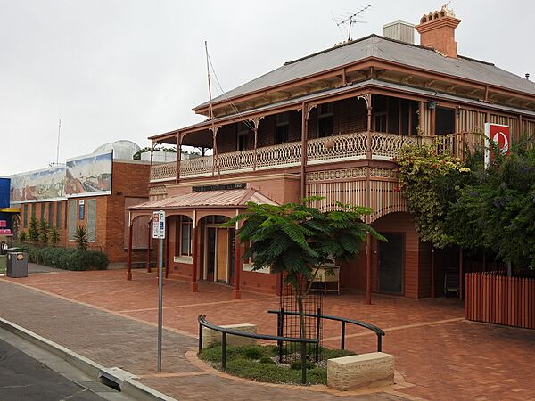
- Richard Street: Bourke Court House
- 5 Richard Street: Ardsilla
- 17 Sturt Street: Old London Bank Building
- The North Bourke Bridge, which opened in 1883, is also on the Engineering Heritage Register.
People of Bourke
In 2016, Bourke had 1,824 people.
- About 38% of the people were Aboriginal and Torres Strait Islander.
- Most people (78.1%) were born in Australia.
- Most people (80.2%) spoke only English at home.
- The most common religion was Catholicism (40.2%).
Today, people in Bourke speak 21 different Indigenous languages. These include Ngemba, Barkindji, Wangkumara, and Muruwari.
Bourke's Climate
Bourke has a hot, semi-dry climate. Summers are very hot, and winters are cool but often mild during the day. On January 4, 1903, Bourke recorded a temperature of 49.7 °C (121.5 °F). This is one of the highest temperatures ever recorded in Australia.
| Climate data for Bourke Airport AWS (30º02'S 145º57'E, 107 m AMSL) (1998–2024, extremes to 1871 [Post Office]) | |||||||||||||
|---|---|---|---|---|---|---|---|---|---|---|---|---|---|
| Month | Jan | Feb | Mar | Apr | May | Jun | Jul | Aug | Sep | Oct | Nov | Dec | Year |
| Record high °C (°F) | 49.7 (121.5) |
48.3 (118.9) |
46.7 (116.1) |
41.1 (106.0) |
35.0 (95.0) |
30.0 (86.0) |
31.8 (89.2) |
34.8 (94.6) |
40.8 (105.4) |
43.3 (109.9) |
46.6 (115.9) |
48.9 (120.0) |
49.7 (121.5) |
| Mean daily maximum °C (°F) | 37.6 (99.7) |
35.7 (96.3) |
32.8 (91.0) |
28.0 (82.4) |
22.5 (72.5) |
18.9 (66.0) |
18.7 (65.7) |
21.5 (70.7) |
25.9 (78.6) |
29.7 (85.5) |
32.5 (90.5) |
35.5 (95.9) |
28.3 (82.9) |
| Mean daily minimum °C (°F) | 22.8 (73.0) |
21.7 (71.1) |
18.7 (65.7) |
13.5 (56.3) |
8.4 (47.1) |
5.8 (42.4) |
4.3 (39.7) |
5.3 (41.5) |
9.3 (48.7) |
13.9 (57.0) |
17.5 (63.5) |
20.5 (68.9) |
13.5 (56.2) |
| Record low °C (°F) | 8.9 (48.0) |
10.6 (51.1) |
5.6 (42.1) |
1.7 (35.1) |
−2.8 (27.0) |
−3.9 (25.0) |
−3.5 (25.7) |
−3.3 (26.1) |
−1.7 (28.9) |
1.7 (35.1) |
3.3 (37.9) |
5.0 (41.0) |
−3.9 (25.0) |
| Average precipitation mm (inches) | 32.2 (1.27) |
30.8 (1.21) |
38.9 (1.53) |
23.6 (0.93) |
23.6 (0.93) |
28.6 (1.13) |
14.0 (0.55) |
13.3 (0.52) |
20.2 (0.80) |
28.7 (1.13) |
44.4 (1.75) |
32.9 (1.30) |
331.5 (13.05) |
| Average precipitation days (≥ 0.2 mm) | 5.8 | 4.7 | 5.3 | 3.6 | 4.3 | 6.1 | 4.7 | 3.5 | 4.2 | 5.1 | 6.5 | 4.4 | 58.2 |
| Average afternoon relative humidity (%) | 24 | 28 | 27 | 28 | 36 | 47 | 41 | 30 | 24 | 22 | 25 | 21 | 29 |
Education in Bourke

Bourke has many schools for all ages. There are preschools, primary schools, and high schools. The Bourke–Walgett School of Distance Education lets children learn from home. This includes students from preschool up to year 12.
Getting Around Bourke

You can reach Bourke by the Mitchell Highway. This road comes from the north (from Charleville and Cunnamulla) and from the south-east (from Nyngan). The Kamilaroi Highway also ends in Bourke. It connects to Brewarrina and Walgett. Other roads link Bourke to Moree, Goondiwindi, and Cobar (via the Kidman Way).
Bourke also has an airport, Bourke Airport. There are bus services from NSW TrainLink to other nearby towns like Dubbo. Bourke was once the biggest inland port in the world for sending wool down the Darling River. The Bourke court house is special because it was originally a maritime court. This means it dealt with legal cases related to ships and the river. You can still see crowns on top of the flag poles on the building.
The Main Western railway line used to end in Bourke. The railway opened in 1885. Passenger trains stopped running in 1975, and the line closed completely in 1986.
Cultural Importance

Bourke is often seen as the start of the Australian outback. This is why people sometimes say "back o' Bourke". It means a very remote place. This phrase comes from a poem by a Scottish-Australian poet named Will H. Ogilvie.
You can find out more at The Back 'O Bourke Exhibition Centre. It's also the Tourist Information Centre.
In 1892, a young writer named Henry Lawson visited Bourke. He was sent there to experience life in the outback. This trip had a big impact on him. His time in the bush inspired many of his later stories and poems. Lawson once wrote, "if you know Bourke you know Australia." Some of his poems, written under a different name, were found in the Bourke library in 1992.
Other poets, like Harry 'Breaker' Morant and Will H. Ogilvie, also lived in the Bourke area. Their experiences there influenced their writing.
The famous eye surgeon Fred Hollows is buried in Bourke. He worked in the Bourke area in the early 1970s. He loved the place and asked to be buried there after he passed away in 1993.
The Telegraph Hotel, built in 1888 by the Darling River, has been restored. It is now called the Riverside Motel.
Media in Bourke

Bourke has several radio stations and television channels.
ABC radio broadcasts on both FM and AM. It helps keep people in the area connected.
There are also three community radio stations in Bourke. 2WEB broadcasts on 585 AM. 2CUZ is the Indigenous radio station on 106.5 FM. Gold FM is a tourist information station on 88.0 FM. The first two stations reach many communities in the region.
The local newspaper is called The Western Herald. It comes out every Thursday, except for a short break at Christmas.
Gallery
-
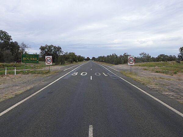
Town sign, southern approach from Kidman Way (2021).
-
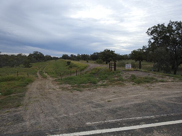
Levee bank on southern side of town (2021).
-
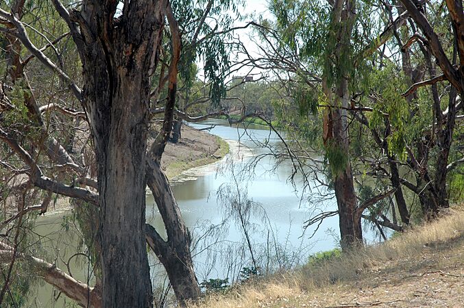
The Darling River from Bourke Wharf (2010).
-
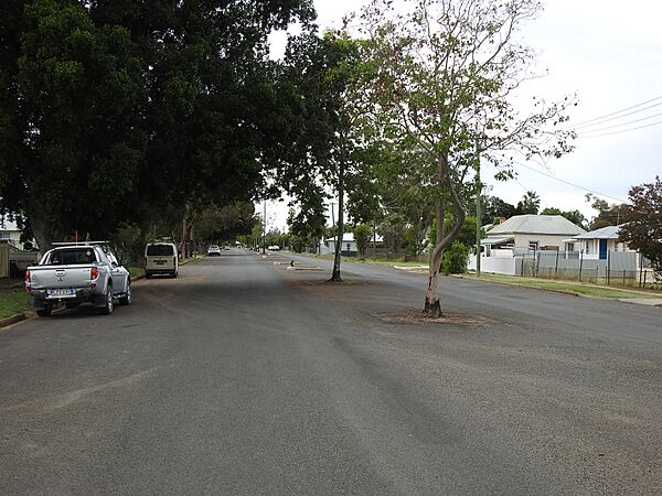
Oxley Street scene (2021).
-
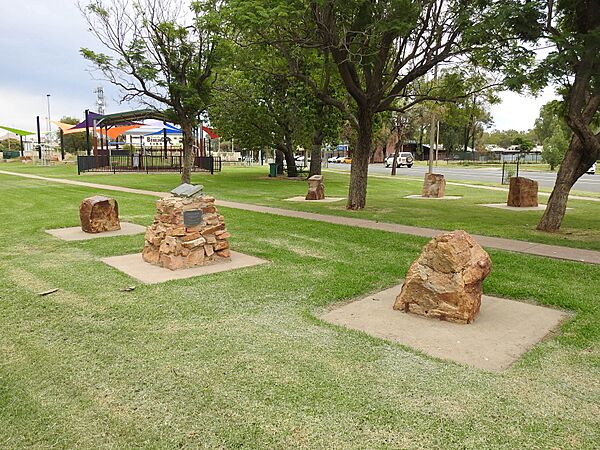
Poets Corner of Central Park (2021).
-
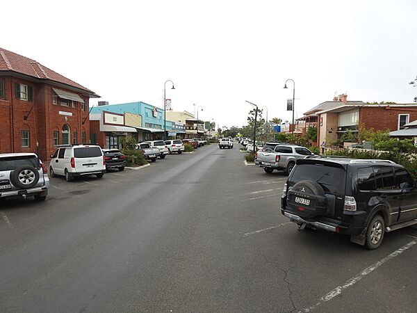
Oxley Street town centre (2021).
-
Australia Post office (2021).
-
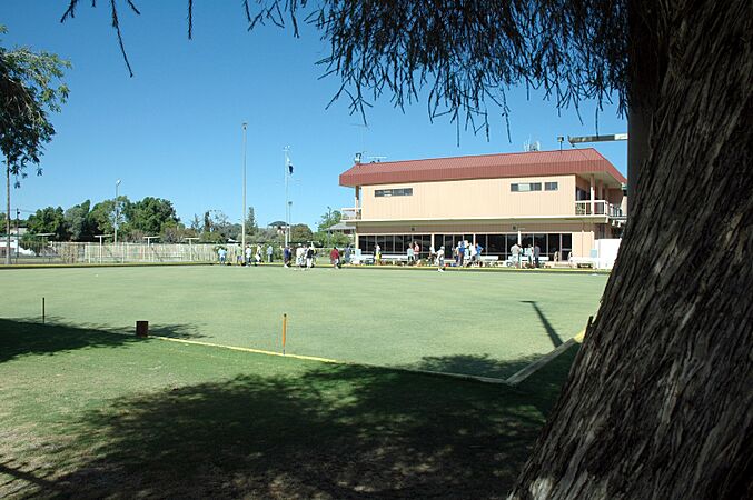
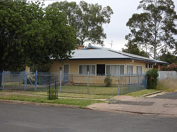
Bourke Bowls Club on a Sunday morning
-
Country Women's Association rest room (2021).
-
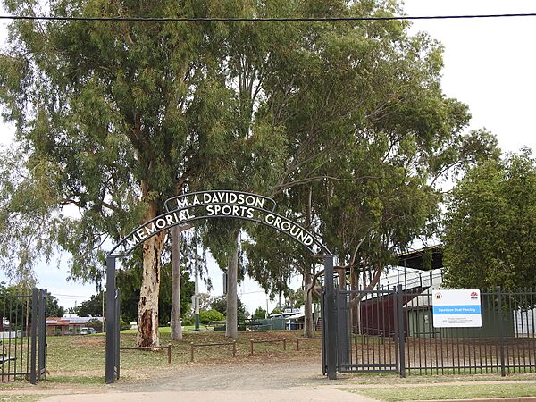
M A Davidson Memorial Sports Ground (2021).
-
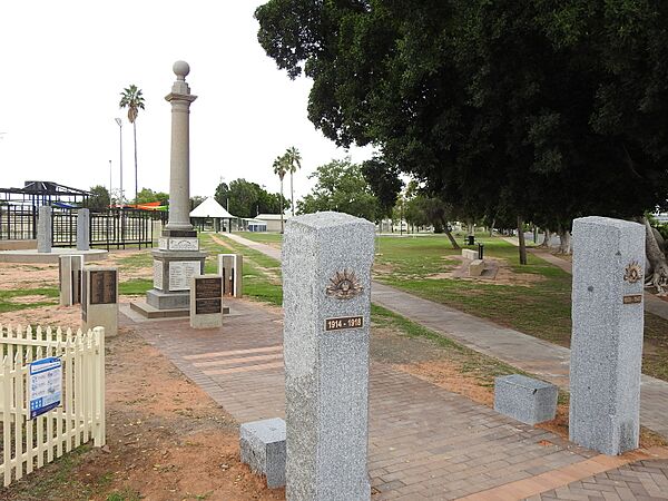
War memorial (2021).
-
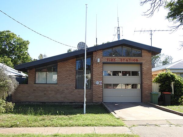
Fire station (2021).
-
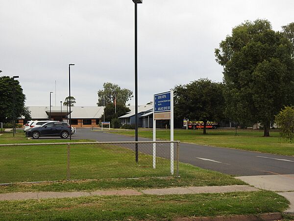
Bourke District Hospital, Tarcoon Street (2021).
-
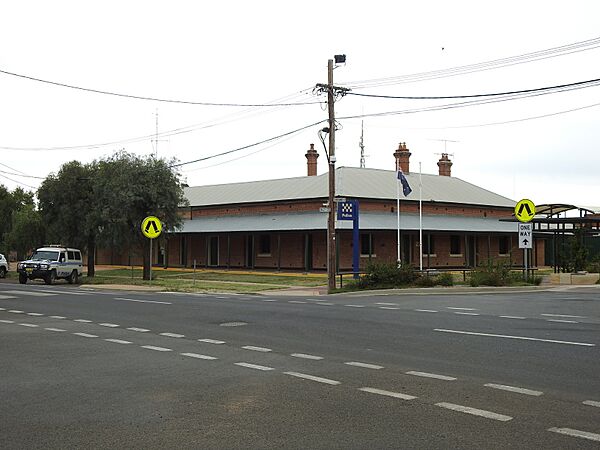
NSW Police Force police station (2021).
-
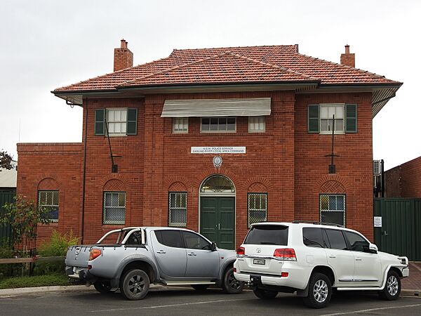
NSW Police local area command (2021).
-
Anglican church (2021).
-
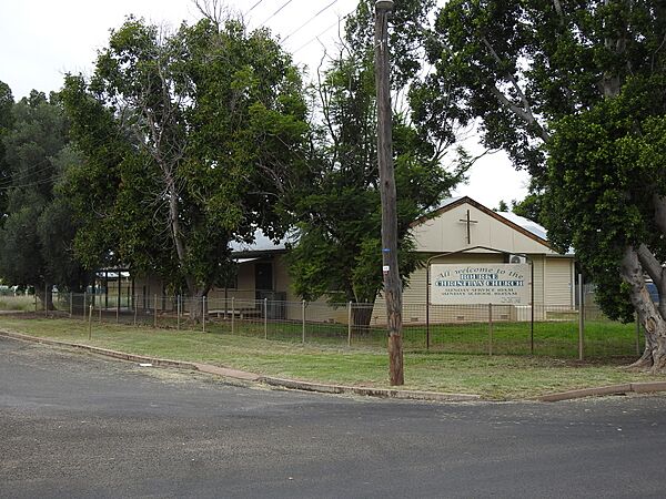
Bourke Christian Church (2021).
-
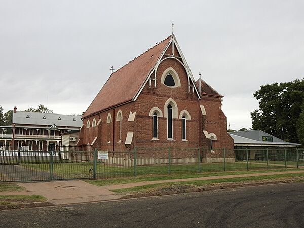
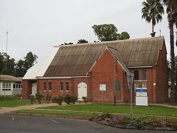
Catholic church (2021).
-
Mosque in Bourke cemetery. 19th-century Bourke was home to many Afghan camel keepers
-
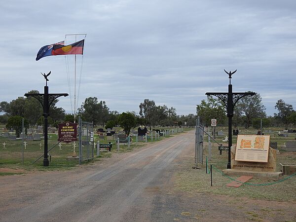
Town cemetery, Gorrell Avenue/Kidman Way (2021).
-
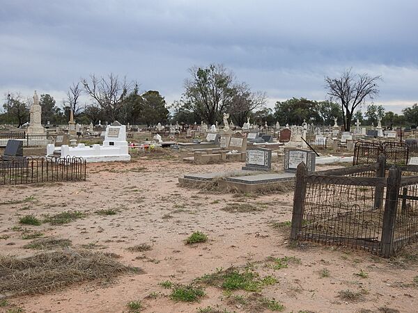
Headstones of the old section of the Bourke Cemetery, Gorrell Avenue (2021).
-
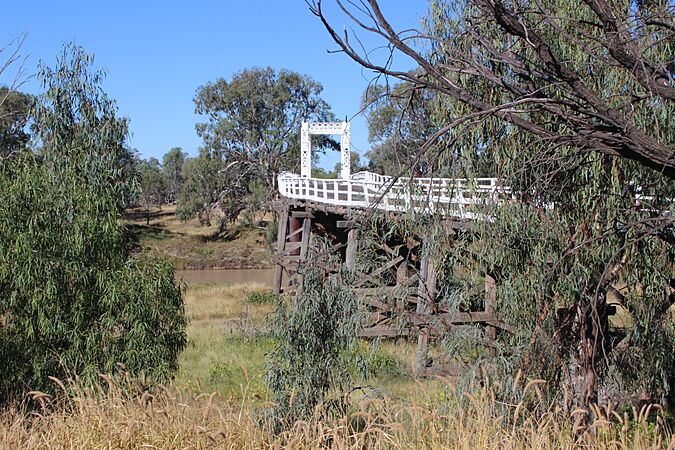
Old North Bourke Bridge, opened in 1883 (2014).
-
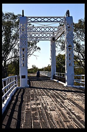
Lifting span of the old North Bourke Bridge.
-
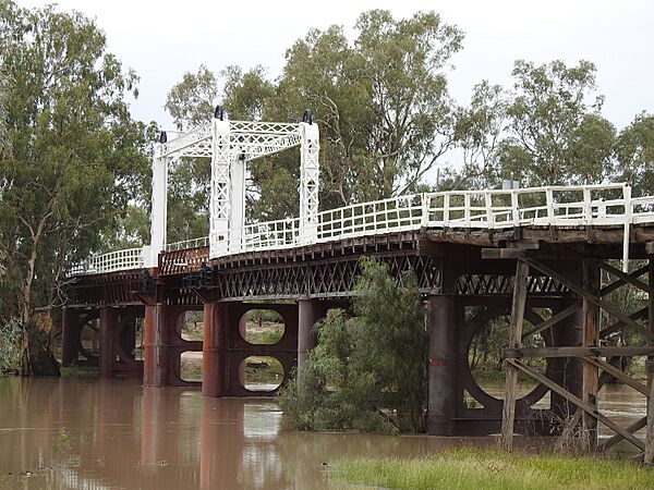
Old North Bourke bridge, in flood, northern side, North Bourke (2021).
-
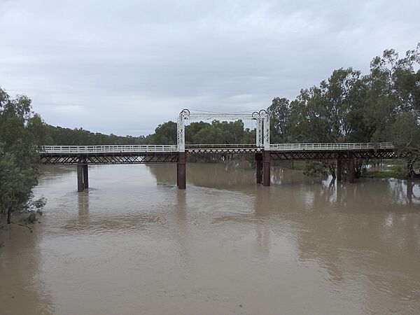
Old North Bourke bridge, in flood, southern side, North Bourke (2021).
-
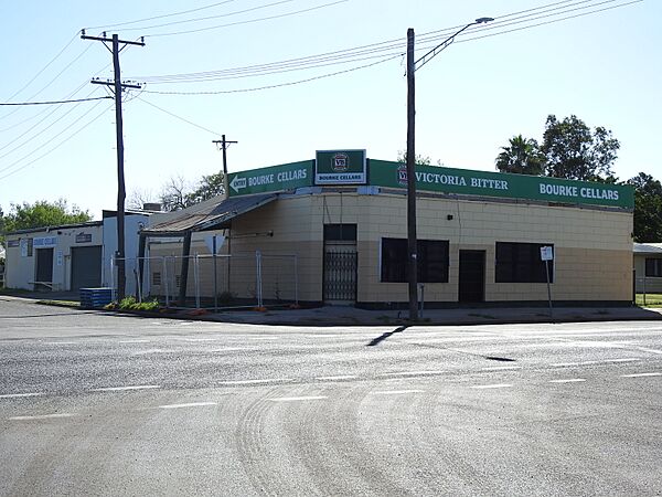
Bourke Cellars, the former Shakespeare Hotel, Mitchell and Glen Streets (2021).
-
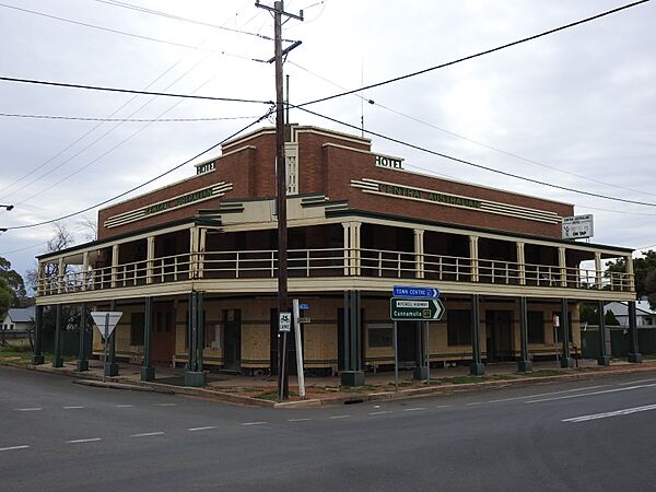
Carriers Arms Hotel, then the Cobb and Co. Tavern, Mitchell and Wilson Streets (2021).
-
Central Australian Hotel, Anson Street (2021).
-
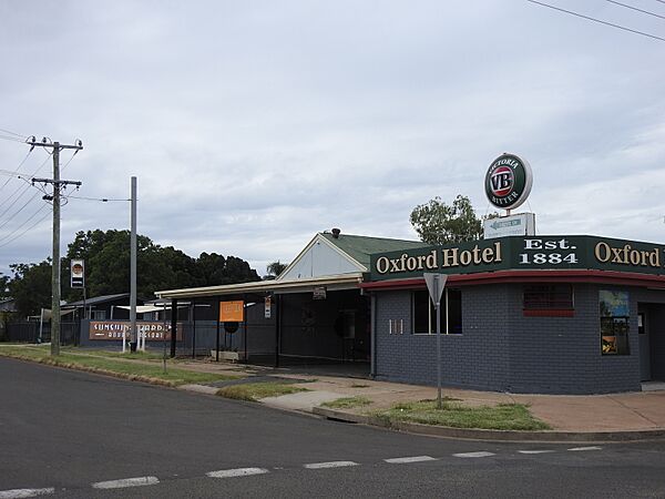
Oxford Hotel, Anson Street (2021).
-
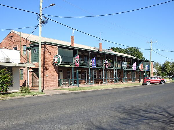
Port Bourke Hotel, Mitchell Street (2021).
-
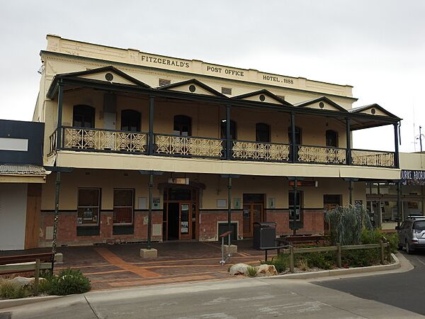
Post Office Hotel (2021).
-
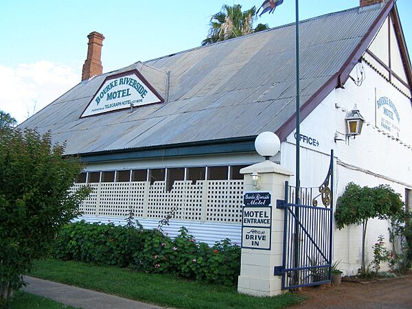
Telegraph Hotel established 1875, now Riverside Motel
-
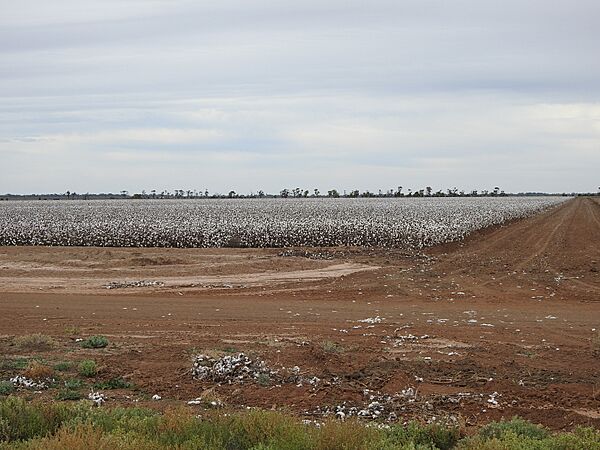
Cotton fields between Toorale National Park and North Bourke (2021).


.jpg)


See also
 In Spanish: Bourke para niños
