DeSoto Lake (Iowa–Nebraska) facts for kids
Quick facts for kids DeSoto Lake |
|
|---|---|

DeSoto Lake
|
|
| Location | Iowa and Nebraska |
| Coordinates | 41°29′54″N 96°00′23″W / 41.49833°N 96.00639°W |
| Type | Artificial lake |
| First flooded | 1958 |
| Surface area | 811 acres (328 ha) |
| Max. depth | 26 feet (7.9 m) |
| Surface elevation | 991 feet (302 m) |
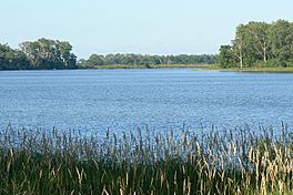
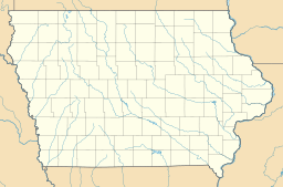
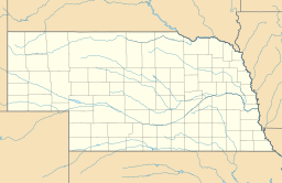
DeSoto Lake is a cool lake located in the DeSoto National Wildlife Refuge. It sits across two states: Iowa (in Harrison and Pottawattamie counties) and Nebraska (in Washington County). This lake covers about 811 acres, which is like 600 football fields! It's also pretty deep, reaching up to 26 feet.
Even though DeSoto Lake looks like a natural lake, it was actually made by people. It was created in 1958 from a special channel connected to the Missouri River.
How DeSoto Lake Was Made
DeSoto Lake wasn't always a lake. It used to be a big bend in the Missouri River. This bend was known as DeSoto Bend.
Something interesting happened here in 1865. A steamboat named Bertrand sank right in this bend. Later, in 1968, people dug up the old steamboat.
In 1958, the Army Corps of Engineers decided to change the river. They built a new, straight channel that was 2 miles long. This new channel helped boats avoid the old 8-mile bend. When they made this shortcut, the old bend was cut off from the main river. That's how DeSoto Lake was formed! It became part of the larger DeSoto National Wildlife Refuge.
Animals Living in DeSoto Lake
DeSoto Lake is home to many different kinds of fish. You can find fish like black crappie, bluegill, and largemouth bass. There are also channel catfish and flathead catfish. Other fish include freshwater drum, paddlefish, river carpsucker, sauger, walleye, white bass, and yellow bass.
People enjoy fishing here, but there are rules. The states of Iowa and Nebraska have special rules for fishing in the lake.
Many birds also visit DeSoto Lake. You might see wood ducks and different types of geese, including snow geese. Herons and plovers are also common visitors to the lake.
 | Roy Wilkins |
 | John Lewis |
 | Linda Carol Brown |


