Deer Creek (Santa Clara County, California) facts for kids
Quick facts for kids Deer Creek |
|
|---|---|

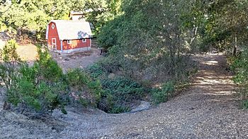
Deer Creek at La Barranca Road, Los Altos Hills
|
|
| Other name(s) | Purisima Creek on some maps |
| Country | United States |
| State | California |
| Region | Santa Clara County |
| Physical characteristics | |
| Main source | Foothills of the Santa Cruz Mountains Los Altos Hills, California 128 ft (39 m) 37°21′46″N 122°08′59″W / 37.36278°N 122.14972°W |
| River mouth | Matadero Creek Palo Alto, California 0 ft (0 m) 37°24′16″N 122°09′08″W / 37.40444°N 122.15222°W |
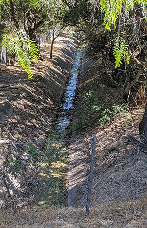
Deer Creek is a small stream located in Santa Clara County, California, in the United States. It is a branch of Matadero Creek. This creek starts in the hills of the Santa Cruz Mountains.
From its beginning in Los Altos Hills, California, Deer Creek flows north. It travels about 2.5 miles (4.0 km). Finally, it joins Matadero Creek in Palo Alto, California. On some maps, this creek is also called Purisima Creek.
Where Deer Creek Starts and Flows
Deer Creek begins at an elevation of 680 feet (207 meters). This is just north of Altamount Road in Los Altos Hills. It flows north and goes under Interstate 280. This happens near the La Barranca Road underpass.
After passing under the highway, the creek turns west. It then flows next to Purissima Road. It crosses Arastradero Road and Deer Creek Road. Finally, Deer Creek meets the main part of Matadero Creek. This meeting point is south of Foothill Expressway. It is also east of Page Mill Road.
 | Delilah Pierce |
 | Gordon Parks |
 | Augusta Savage |
 | Charles Ethan Porter |


