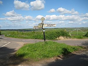
Drackenorth facts for kids
Quick facts for kids Drackenorth |
|
|---|---|
| Drakenorth | |
| Highest point | |
| Elevation | 221 m (725 ft) |
| Prominence | 60 m (200 ft) |
| Parent peak | Lewesdon Hill |
| Listing | Tump |
| Geography | |
| Location | Dorset, England |
| Parent range | Dorset Downs |
| OS grid | SY532985 |
| Topo map | OS Landranger 194 |
Drackenorth (sometimes called Drakenorth) is a well-known hill in the county of Dorset in southern England. It stands 221 meters (about 725 feet) tall. You can find it about 3 kilometers (2 miles) northeast of a village called Powerstock.
Drackenorth is located right on the Jubilee Trail, a popular walking route. Its height above the surrounding land, known as its "prominence," is 61 meters (200 feet). This makes it special enough to be listed as a "Tump," which is a type of hill. The hill is also part of the beautiful Dorset Downs area.
What is Drackenorth?
Drackenorth is a significant natural landmark in Dorset. It's not a huge mountain, but it's tall enough to offer great views and is a key feature of the local landscape.
A Hill with a View
The very top of Drackenorth is the highest spot on a long, narrow ridge. This ridge stretches from the southwest to the northeast. The top part of the hill is quite open, meaning there aren't many trees right at the summit. However, the steep sides of the hill, especially to the south and east, are covered with thick woods.
Exploring the Hill
One of the best ways to experience Drackenorth is by walking along the Jubilee Trail. This trail is a well-known path that goes up the northeast side of the hill.
The Jubilee Trail
As the Jubilee Trail climbs Drackenorth, it passes just north of the hill's highest point. After going past the summit area, the trail continues its journey. It then goes into a wooded area known as Woodlands Coppice. This makes the walk interesting, as you move from open spaces to shaded forests.


