Dropla Gap facts for kids
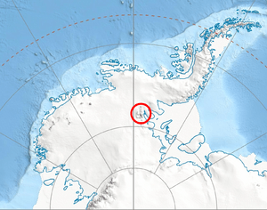
Dropla Gap is a flat, ice-covered pass located in the central part of the Sentinel Range in Ellsworth Mountains, Antarctica. It's like a low point between two higher areas. This gap is about 850 meters (2,788 feet) high.
It stretches for about 1.35 kilometers (0.84 miles). Dropla Gap connects Maglenik Heights on its west side with Barnes Ridge to its east. It also acts as a "glacial divide." This means it separates the ice flow of Young Glacier to the north from Arapya Glacier to the south.
The name "Dropla Gap" comes from two towns in Bulgaria. These towns are called Dropla, and they are found in different parts of Bulgaria. The Bulgarian name for the gap is Bulgarian: седловина Дропла, which means 'Sedlovina Dropla'.
Where is Dropla Gap?
Dropla Gap is located at specific coordinates: 78°08′15″S latitude and 84°58′20″W longitude. These numbers help scientists and explorers find its exact spot on a map.
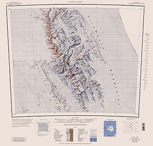
The area around Dropla Gap was first mapped by the United States in 1961. These maps were later updated in 1988 to be even more accurate.
 | Selma Burke |
 | Pauline Powell Burns |
 | Frederick J. Brown |
 | Robert Blackburn |


