Young Glacier facts for kids
Quick facts for kids Young Glacier |
|
|---|---|

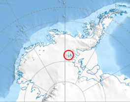
Location of Sentinel Range in Western Antarctica.
|
|
| Location | Maglenik Heights Sentinel Range Ellsworth Land |
| Coordinates | 78°4′20″S 84°49′00″W / 78.07222°S 84.81667°W |
| Length | 8 nmi (15 km; 9 mi) |
| Thickness | unknown |
| Status | unknown |
Young Glacier (78°4′S 84°49′W / 78.067°S 84.817°W) is a large river of ice located in Antarctica. It flows from Mount Gozur and Ichera Peak in an area called Maglenik Heights. This glacier stretches for about 8 miles (13 kilometers) towards the east. It ends at the northern part of Barnes Ridge. This whole area is on the eastern side of the Sentinel Range, which is part of the Ellsworth Mountains.
Exploring Young Glacier
Scientists first mapped Young Glacier between 1957 and 1959. This mapping was done by the United States Geological Survey (USGS). The USGS is a government agency that studies the Earth. They used surveys and photos taken from airplanes by the U.S. Navy to create their maps.
How Young Glacier Got Its Name
The glacier was named by the Advisory Committee on Antarctic Names (US-ACAN). This committee is in charge of naming places in Antarctica. They named it after First Lieutenant Dale L. Young of the United States Air Force (USAF). Lieutenant Young was part of a team that helped set up the South Pole Station. This important station was established during the 1956–57 season.
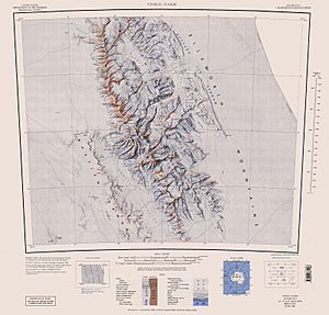
Maps of the Region
 This article incorporates public domain material from the United States Geological Survey document "Young Glacier" (content from the Geographic Names Information System). Lua error in Module:EditAtWikidata at line 29: attempt to index field 'wikibase' (a nil value).
 | Chris Smalls |
 | Fred Hampton |
 | Ralph Abernathy |


