East Innisfail, Queensland facts for kids
Quick facts for kids East InnisfailQueensland |
|||||||||||||||
|---|---|---|---|---|---|---|---|---|---|---|---|---|---|---|---|

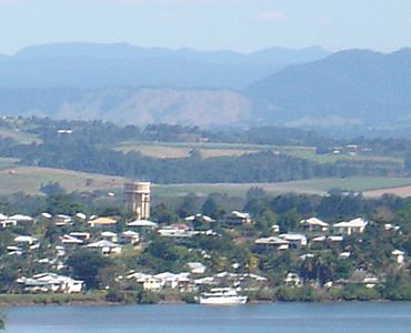
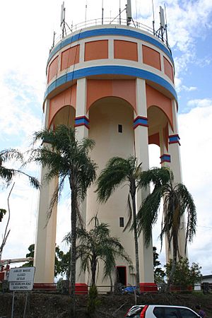
Innisfail Water Tower, a landmark in East Innisfail, 2005
|
|||||||||||||||
| Population | 1,757 (2021 census) | ||||||||||||||
| • Density | 1,260/km2 (3,300/sq mi) | ||||||||||||||
| Postcode(s) | 4860 | ||||||||||||||
| Area | 1.4 km2 (0.5 sq mi) | ||||||||||||||
| Time zone | AEST (UTC+10:00) | ||||||||||||||
| LGA(s) | Cassowary Coast Region | ||||||||||||||
| State electorate(s) | Hill | ||||||||||||||
| Federal Division(s) | Kennedy | ||||||||||||||
|
|||||||||||||||
East Innisfail is a suburb in Queensland, Australia. It is part of the Cassowary Coast Region. In 2021, about 1,757 people lived there.
Contents
Exploring East Innisfail's Location
East Innisfail is surrounded by rivers. The Johnstone River is to the north. The South Johnstone River, which flows into the Johnstone River, is to the west. Marty Street forms the southern border.
A new bridge, called the Jubilee Bridge, connects East Innisfail to the main part of Innisfail. It crosses the South Johnstone River.
A Look at East Innisfail's Past
East Innisfail has an interesting history. The first Jubilee Bridge, built in 1923, used to connect the suburb to the main town.
In 1936, the Innisfail East State School opened. This was an important step for local families. Another school, Radiant Life Christian College, started in 1982.
The original Jubilee Bridge was closed in 2010 because it was old and unsafe. A new Jubilee Bridge was built and opened in 2011. This new bridge helps people travel easily between East Innisfail and the town centre.
In 2011, some people in low-lying areas had to leave their homes because of Cyclone Yasi. After the cyclone, there were some cases of dengue fever in the area.
Darlinga Forest School opened in 2021, focusing on outdoor learning. However, it closed in 2023.
Important Places in East Innisfail
East Innisfail has some special places listed for their history. One of these is the Innisfail Water Tower. It is located on Mourilyan Street.
Learning in East Innisfail
East Innisfail has schools for younger students.
Innisfail East State School
This is a government primary school for students from Prep to Year 6. It is located on Mourilyan Road. In 2017, about 260 students attended this school.
Radiant Life Christian College
This is a private primary school for students from Prep to Year 7. It is located on Riley Street. In 2017, about 83 students were enrolled. This school focuses on educating Indigenous children, but welcomes all students.
There is no high school in East Innisfail. The closest secondary school is Innisfail State College in the nearby area of Innisfail Estate.
Things to Do in East Innisfail
The Innisfail Bowls Club is a place where people can play lawn bowls. It is located at The Corso, where the two rivers meet.
The suburb also has three churches and a park along the river. These places offer community activities and green spaces for everyone to enjoy.
 | Selma Burke |
 | Pauline Powell Burns |
 | Frederick J. Brown |
 | Robert Blackburn |


