El Salvador–Honduras border facts for kids
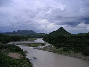
The El Salvador–Honduras border is a long line that separates El Salvador from Honduras. It stretches for about 256 kilometers (159 miles). This important border helps define where one country ends and the other begins.
Contents
What is the El Salvador-Honduras Border?
This border is a continuous line that divides the eastern and northern parts of El Salvador from Honduras. It's a key part of the geography of Central America.
Where Does the Border Go?
The border follows two main directions:
- It starts in the south, near the Pacific Ocean and the Gulf of Fonseca. From there, it runs north.
- Then, it turns and goes in an east-west direction. This part of the border leads to a special point where three countries meet: El Salvador, Honduras, and Guatemala.
The border passes through several areas. In El Salvador, it touches departments like Chalatenango, Cabañas, San Miguel, Morazán, and La Union. In Honduras, it goes through departments such as Valle, La Paz, Intibucá, Lempira, and Ocotepeque. It even crosses the highest point in El Salvador, a mountain called Cerro El Pital.
How the Border Was Created
The idea of this border first came about in 1841. At that time, El Salvador and Honduras were part of a larger group called the Federal Republic of Central America. Nicaragua was also part of this republic. In 1856, the three countries decided to separate. That's when they officially set up the international borders we see today.
See also
 In Spanish: Frontera entre Honduras y El Salvador para niños
 | Ernest Everett Just |
 | Mary Jackson |
 | Emmett Chappelle |
 | Marie Maynard Daly |


