Fourbass Lake (Ontario) facts for kids
Quick facts for kids Fourbass Lake |
|
|---|---|
| Location | Timiskaming District, Ontario |
| Coordinates | 47°05′29″N 79°31′40″W / 47.09139°N 79.52778°W |
| Primary inflows | Matabitchuan River |
| Primary outflows | Matabitchuan River |
| Basin countries | Canada |
| Max. length | 7.3 km (4.5 mi) |
| Max. width | 4.3 km (2.7 mi) |
| Surface elevation | 274 m (899 ft) |
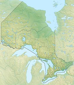
Fourbass Lake is a beautiful lake located in the Timiskaming District of Ontario, Canada. It's found about 20 kilometres (12 mi) east of the town of Temagami. This lake is an important part of the local water system and helps create electricity for people.
About Fourbass Lake
Fourbass Lake is quite large, stretching about 7.3 kilometres (4.5 mi) long and 4.3 kilometres (2.7 mi) wide. It sits at an elevation of 274 metres (899 ft) above sea level. This means it's higher up than many other places, allowing water to flow downhill from it.
Water Flow and Connections
The main river flowing into Fourbass Lake is the Matabitchuan River. This river brings water from Rabbit Lake, which is further upstream. Other smaller streams also feed into Fourbass Lake from nearby places like Cooper Lake and Gorrie Lake.
The Matabitchuan River also flows out of Fourbass Lake. This river then carries the lake's water into Lake Timiskaming. From there, the water travels into the Ottawa River and eventually reaches the mighty St. Lawrence River. This shows how all these waterways are connected, like a giant natural plumbing system!
Making Electricity
A special dam helps control how much water leaves Fourbass Lake. Some of this water is sent through large pipes called penstocks. These pipes carry the water to the Ontario Power Generation Matabitchuan Generating Station. This station uses the power of the flowing water to create electricity, which helps power homes and businesses. It's a great example of how we can use natural resources to meet our energy needs.
 | Kyle Baker |
 | Joseph Yoakum |
 | Laura Wheeler Waring |
 | Henry Ossawa Tanner |


