Gathering Lake facts for kids
Quick facts for kids Gathering Lake |
|
|---|---|
| Location | Thunder Bay District, Ontario |
| Coordinates | 49°25′30″N 87°27′51″W / 49.42500°N 87.46417°W |
| Part of | Great Lakes Basin |
| Primary inflows | Namewaminikan River, Roslyn River, Margret Creek |
| Primary outflows | Namewaminikan River |
| Basin countries | Canada |
| Max. length | 12.5 km (7.8 mi) |
| Max. width | 1.2 km (0.7 mi) |
| Surface elevation | 378 metres (1,240 ft) |
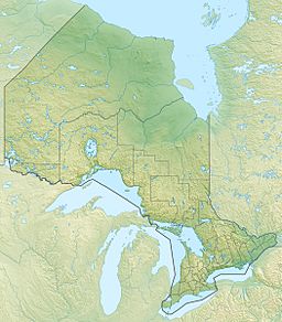
Gathering Lake is a long, narrow lake located in the Thunder Bay District of northwestern Ontario, Canada. It's a part of the huge Great Lakes Basin, which is a system of lakes and rivers connected to the famous Great Lakes.
This lake stretches about 12.5 kilometers (7.8 miles) long and is about 1.2 kilometers (0.75 miles) wide. It sits at an elevation of 378 meters (1,240 feet) above sea level.
Water Flow and Connections
Gathering Lake is an important part of a larger water system. Water flows into and out of the lake, connecting it to other rivers and bigger bodies of water.
Inflows: How Water Enters
The main river that brings water into Gathering Lake is the Namewaminikan River. This river flows into the lake from the east side.
Other rivers and creeks also feed into Gathering Lake. The Roslyn River adds water from the south, and Margret Creek flows in from the northeast. These inflows keep the lake full and healthy.
Outflows: Where Water Goes
The main river flowing out of Gathering Lake is also the Namewaminikan River. It leaves the lake from the north side.
From Gathering Lake, the Namewaminikan River continues its journey. It flows into Lake Nipigon, which is a very large lake in Ontario. After Lake Nipigon, the water travels through the Nipigon River. Finally, the Nipigon River empties into Lake Superior, one of the five Great Lakes. This shows how Gathering Lake is connected to a much larger water network.


