Grit Fell facts for kids
Quick facts for kids Grit Fell |
|
|---|---|

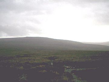
Looking east from Grit Fell towards Ward's Stone
|
|
| Highest point | |
| Elevation | 468 m (1,535 ft) |
| Prominence | c. 33 m (108 ft) |
| Geography | |
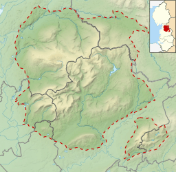
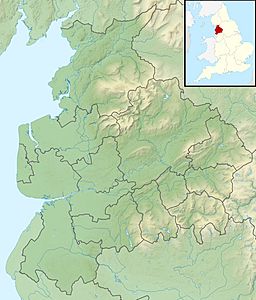
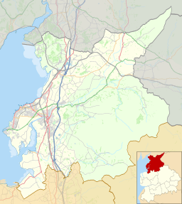
| Location | Forest of Bowland, England |
| OS grid | SD557588 |
| Topo map | OS Landranger 102 |
Grit Fell is a quiet hill located in the Forest of Bowland in Lancashire, England. It sits between two other hills, Clougha Pike and Ward's Stone. This area is known for its wild and open landscape.
Contents
Exploring Grit Fell
Grit Fell is covered with heather plants and many large, wet areas called bogs. Because of these bogs, walking here can be quite challenging. It's a place for adventurers who don't mind a bit of a tricky path!
Paths to the Top
There are a few ways to reach the summit of Grit Fell. Each path offers a different kind of adventure.
The Southern Path
One path starts from the Jubilee Tower car park in the south. This route can be difficult and even a bit risky. It crosses deep bogs that can be up to 6 feet (1.83 m) deep. You need to be careful where you step!
The Western Path
Another path comes from Clougha Pike in the west. This route is a bit easier than the southern one. However, it still has bogs. Sometimes, you might find a wooden plank to help you cross the wettest parts.
The Eastern Path
The path from Ward's Stone is often considered the most challenging. It crosses an area called Cabin Flat. Here, the path winds through hidden pools of still water. You can often spot these wet areas because of a special kind of red grass that grows nearby.
What's at the Summit?
The very top of Grit Fell is not very dramatic. You won't find a big monument or a visitor center. Instead, there are just some cairns, which are piles of stones made by people. There is also a wall that crosses the summit. From here, you can enjoy wide-open views of the surrounding countryside.
 | Jewel Prestage |
 | Ella Baker |
 | Fannie Lou Hamer |


