Clougha Pike facts for kids
Quick facts for kids Clougha Pike |
|
|---|---|

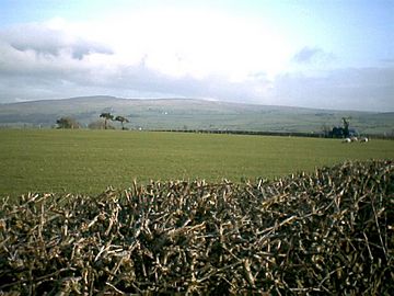
Clougha Pike from near Lancaster University
|
|
| Highest point | |
| Elevation | 413 m (1,355 ft) |
| Prominence | c. 3 m |
| Geography | |
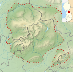
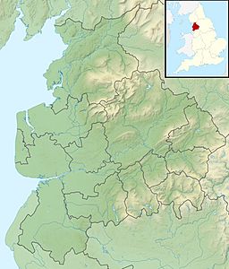
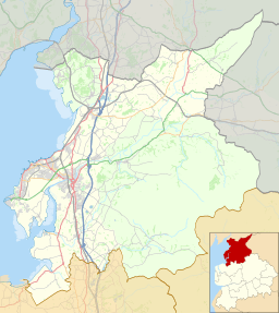
| Location | Forest of Bowland, England |
| OS grid | SD544595 |
| Topo map | OS Landranger 102 |
Clougha Pike (pronounced KLUUF-uh) is a cool hill located in the Forest of Bowland in Lancashire, England. If you look at it from the west, it seems to stand tall over the Conder Valley, the city of Lancaster, and Lancaster University. It's so big that you can even see it from places like Barrow-in-Furness, the Lake District mountains, and even Blackpool Tower!
From the west, Clougha Pike looks like a big, rounded dome with a rocky, cliff-like part at the very top. If you view it from the south-west, you'll notice some interesting "notches" or "cloughs" on its sides. These notches are what give the hill its unique name!
Contents
Discovering Clougha Pike
What is Clougha Pike?
Clougha Pike is a well-known hill in the beautiful Forest of Bowland. It's not a huge mountain, but it offers amazing views and is a popular spot for hikers. The hill is 413 meters (about 1,355 feet) high. It's a great place to explore nature and see a wide variety of landscapes.
How Was Clougha Pike Formed?
The special "notches" on Clougha Pike are super interesting! They are different sizes and run across the side of the hill. The biggest notch even has a small lake and a swamp in it, surrounded by cool gritstone boulders.
Scientists believe these notches were carved out by meltwater. This water flowed from a melting glacier that used to be in the Quernmore valley. These unique features are called "marginal notch channels," and Clougha Pike has some of the best examples of them in all of Britain! It's like a natural history lesson written in the landscape.
Getting to the Top
There are a few ways to reach the top of Clougha Pike. One popular path starts from the west, following Rowton Brook. This path then goes diagonally up the steep, rocky part to the summit.
You can also approach the hill from the east, coming from Grit Fell. This route can be a bit muddy and tricky to follow sometimes. Another way to get there is from the north, near the village of Caton.
If you're driving, there's a small car park close to Clougha Pike, just off Rigg Lane. Another good starting point is from the old Victorian building called Jubilee Tower, which also has a car park.
Amazing Views from the Summit
Once you reach the top of Clougha Pike, you'll find a special marker called a trig point (used by mapmakers) and a small shelter to protect you from the wind. The view from the summit is truly incredible!
Looking west, you can see across Morecambe Bay. On a clear day, your view can stretch all the way to Snowdonia in Wales, the Ribble estuary, and even the Isle of Man! You can also spot the fells (hills) of the Lake District and many of the Pennine hills. Sometimes, if the weather is super clear, you might even see the Mourne Mountains in Northern Ireland, just to the left of the Isle of Man.
Clougha Pike is so special that it was even included in Trail magazine's 2007 list of "Britain's Greatest Mountains," even though it's one of the lower hills on that list!
 | Emma Amos |
 | Edward Mitchell Bannister |
 | Larry D. Alexander |
 | Ernie Barnes |


