Haskell Pass facts for kids
Quick facts for kids Haskell Pass |
|
|---|---|
| Elevation | 4,300 ft (1,311 m) |
| Traversed by | Pleasant Valley Road (unpaved) |
| Location | Flathead county, Montana, U.S. |
| Range | Salish Range |
| Coordinates | 48°09′47″N 114°44′50″W / 48.16306°N 114.74722°W |
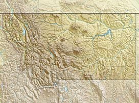
Haskell Pass is a mountain pass in northwestern Montana. It is about 4,300 feet high. A mountain pass is like a low spot or a gap between mountains that makes it easier to travel from one side to another.
Haskell Pass was very important a long time ago, but it is not used much today. It connects the areas drained by the Flathead River and the Kootenay River.
A Look Back in Time
From 1892 to 1904, the first main train tracks of the Great Northern Railway went through Haskell Pass. These tracks connected the towns of Kalispell and Libby.
The railway stopped using this route after 1904. They found a new path that was longer but much flatter. This new route was easier for trains to travel.
Haskell Pass Today
Today, if you go to the west side of Haskell Pass, you will find a gravel road called Pleasant Valley Road. Much of this road follows the path where the old train tracks used to be.
Near the very top of the pass, it is hard to see any signs of the old railway. However, east of Marion, Montana, the old train path has been turned into a walking and biking trail. It is now known as the Great Northern Historical Trail.
 | Selma Burke |
 | Pauline Powell Burns |
 | Frederick J. Brown |
 | Robert Blackburn |


