High water mark facts for kids


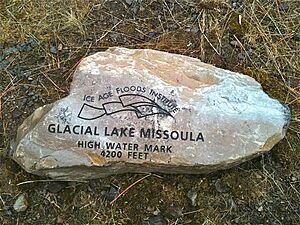
A high water mark shows the highest point that water has reached on land. This can happen because of a flood, or it might be the highest level water reached in a year. Knowing these marks helps people plan for future floods and manage land development.
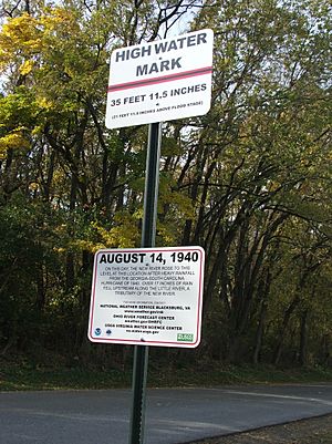
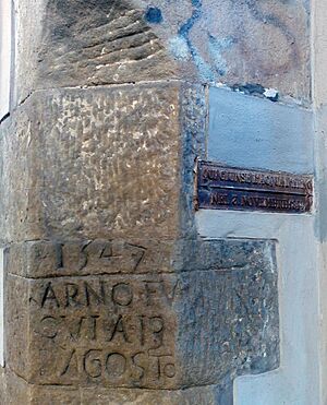
People have been tracking high water marks for a very long time. Ancient Egyptians used them for planning. Today, you often see physical markers, like signs on buildings or poles. These markers show a line where the water rose and the date it happened.
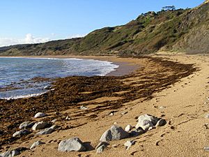
Sometimes, a high water mark isn't a sign. It can be a lasting stain left by floodwater. On beaches, the highest point the tide reaches is called a strandline. This line is made of things like seaweed and litter that the waves leave behind. The strandline moves up and down the beach with the tides.
Contents
Life Along the Strandline
The strandline is a busy place for many small creatures. In the United Kingdom, you can find sandhoppers and seaweed flies living in the rotting seaweed.
These tiny animals are food for many shore birds. Birds like the rock pipit, turnstone, and pied wagtail hunt for them. Even mammals like brown hares, foxes, voles, and mice visit the strandline to find food.
High Water Marks and Laws
There's a special type of high water mark called the ordinary high water mark. This is the usual highest level a body of water reaches when there isn't a flood. This mark is very important for legal reasons.
Property Boundaries
The ordinary high water mark is often used to decide where one person's property ends and another's begins. It helps define boundaries along rivers, lakes, and coasts.
Waterway Rules in the U.S.
In the United States, the United States Constitution gives the government power over waterways. The high water mark helps decide how far this power reaches.
Federal rules define the "ordinary high water mark" (OHWM). This line is shown by things like changes in the soil, dead plants, or where trash collects. It helps agencies like the United States Army Corps of Engineers know where their rules apply.
For example, in 2016, a court in Indiana decided that land below the OHWM along Lake Michigan belongs to the state. This means it's for everyone to use.
See also
- Chart datum
- Mean high water
- Measuring storm surge
- Terrace (geology), benches left by lakes
- Wash margin
 | Kyle Baker |
 | Joseph Yoakum |
 | Laura Wheeler Waring |
 | Henry Ossawa Tanner |


