
Image: Canada Newfoundland relief location map
Size of this preview: 524 × 599 pixels. Other resolutions: 210 × 240 pixels | 824 × 942 pixels.
Original image (824 × 942 pixels, file size: 708 KB, MIME type: image/jpeg)
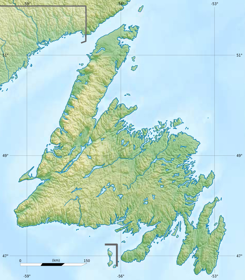
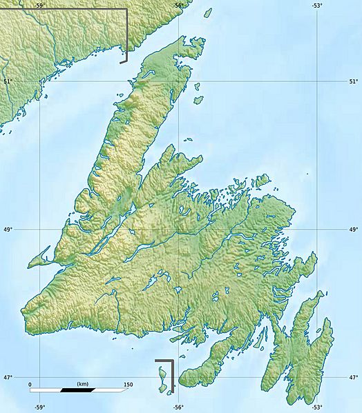
Description: Carte physique de Terre-Neuve, Canada.
Title: Canada Newfoundland relief location map
Credit: Canada Newfoundland and Labrador relief location map.jpg
Author: NordNordWest (vector version), Carport (topography), Flappiefh (cropping, scale and graticules).
Usage Terms: Creative Commons Attribution-Share Alike 3.0
License: CC BY-SA 3.0
License Link: https://creativecommons.org/licenses/by-sa/3.0
Attribution Required?: Yes
Image usage
The following 20 pages link to this image:
- Arrow Air Flight 1285R
- Bay of Islands, Newfoundland and Labrador
- Bonne Bay
- Cape Pine Light
- Cape Race Lighthouse
- Conception Bay
- Deer Lake (Newfoundland and Labrador)
- Gander Lake
- Glovers Harbour, Newfoundland and Labrador
- Grand Lake (Newfoundland and Labrador)
- Gros Morne (Newfoundland)
- Gunners Pond
- Lady Slipper Brook
- Lewis Hills
- Long Gull Pond
- Mount Musgrave
- Pic a Tenerife
- Quidi Vidi Lake
- Red Indian Lake
- The Cabox

All content from Kiddle encyclopedia articles (including the article images and facts) can be freely used under Attribution-ShareAlike license, unless stated otherwise.