The Cabox facts for kids
Quick facts for kids The Cabox |
|
|---|---|
 |
|
| Highest point | |
| Elevation | 812 m (2,664 ft) |
| Prominence | 812 m (2,664 ft) |
| Listing |
|
| Geography | |
| Parent range | Long Range Mountains |
| Topo map | NTS 012/B16 |
| Climbing | |
| First ascent | William Seaward (1832) |
| Easiest route | class 2 scramble |
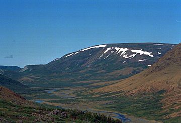
The Cabox is the tallest mountain on the island of Newfoundland in Canada. It stands in the western part of the island. This amazing peak is part of the Lewis Hills. These hills are a subrange of the Long Range Mountains. The Long Range Mountains are themselves part of the much larger Appalachian Mountains.
Contents
About The Cabox
The Cabox is a very important mountain in Newfoundland. It is the highest point on the entire island. This makes it a special landmark for the region. The mountain is found near the coastal town of Stephenville.
How Tall is The Cabox?
The Cabox reaches a height of 812 meters (about 2,664 feet). This makes it a significant peak. Its height is measured from sea level. This measurement shows how high it stands above the ocean.
Where is The Cabox Located?
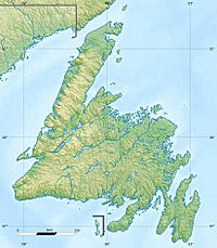
The mountain is located in the province of Newfoundland and Labrador. It is specifically on the island of Newfoundland. The Cabox is a central part of the Lewis Hills. These hills are a section of the Long Range Mountains.
The Long Range Mountains
The Long Range Mountains stretch along the western side of Newfoundland. They are an ancient mountain range. These mountains are part of the larger Appalachian Mountain system. The Appalachians run all the way down to the southern United States.
First Climbers of The Cabox
The first recorded climb of The Cabox was in 1832. A person named William Seaward made this ascent. Climbing The Cabox is considered a "scramble." This means it involves some easy climbing over rocks.
See also
 In Spanish: The Cabox (montaña) para niños
 | Percy Lavon Julian |
 | Katherine Johnson |
 | George Washington Carver |
 | Annie Easley |


