Leading Creek (Tygart Valley River tributary) facts for kids
Quick facts for kids Leading Creek |
|
|---|---|
|
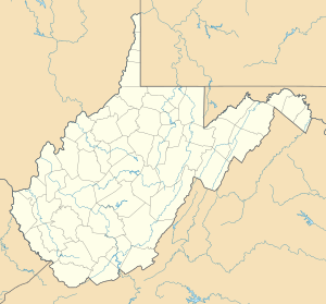
Location of the mouth of Leading Creek in Elkins, West Virginia
|
|
| Country | United States |
| State | West Virginia |
| County | Randolph County |
| Physical characteristics | |
| Main source | north of Montrose 2,431 ft (741 m) 39°06′59″N 79°49′11″W / 39.1164923°N 79.8197921°W |
| River mouth | Tygart Valley River Elkins 1,896 ft (578 m) 38°56′08″N 79°52′54″W / 38.9356612°N 79.8817369°W |
| Length | 17.4 mi (28.0 km) |
| Basin features | |
| Basin size | 61 sq mi (160 km2) |
Leading Creek is a small river in eastern West Virginia, United States. It flows for about 17.4 miles (28 kilometers). This creek is a tributary (a smaller stream that flows into a larger one) of the Tygart Valley River.
Leading Creek is part of a much larger water system. Its waters eventually join the Monongahela River, then the Ohio River, and finally the mighty Mississippi River. This means it is part of the watershed of the Mississippi River. The creek helps drain an area of about 61 square miles (158 square kilometers) in the beautiful Allegheny Mountains. The entire creek and the land it drains are located in northern Randolph County.
Where Leading Creek Flows
Leading Creek starts its journey north of a town called Montrose. It flows southward through a valley. This valley is nestled between two large mountains: Laurel Mountain and Cheat Mountain.
Creek's Path
As it flows south, Leading Creek passes through Montrose. It also goes through the small community of Kerens. The creek continues its path until it reaches the city of Elkins. Here, it flows into the Tygart Valley River from the north.
For most of its journey, the creek flows alongside U.S. Route 219. This road follows the creek's path very closely.
Land Around the Creek
The land around Leading Creek is mostly covered by forests. The West Virginia Department of Environmental Protection has studied this area. They found that about 80 percent of the land in the Leading Creek watershed is forested. Most of these trees are deciduous, which means they lose their leaves in the fall.
How Land is Used
The remaining land around the creek is used for farming. About 18 percent of the area is used for pasture (where animals graze) and other types of agriculture. This mix of forests and farms makes the area around Leading Creek a diverse natural space.
 | Ernest Everett Just |
 | Mary Jackson |
 | Emmett Chappelle |
 | Marie Maynard Daly |


