Logan Creek, Nevada facts for kids
Quick facts for kids
Logan Creek, Nevada
|
|
|---|---|
| Country | United States |
| State | Nevada |
| Area | |
| • Total | 1.81 sq mi (4.68 km2) |
| • Land | 1.75 sq mi (4.54 km2) |
| • Water | 0.06 sq mi (0.14 km2) |
| Elevation | 7,097 ft (2,163 m) |
| Population
(2020)
|
|
| • Total | 40 |
| • Density | 22.83/sq mi (8.81/km2) |
| Time zone | UTC-8 (Pacific (PST)) |
| • Summer (DST) | UTC-7 (PDT) |
| ZIP code |
89413
|
| Area code(s) | 775 |
| FIPS code | 32-42350 |
| GNIS feature ID | 2583939 |
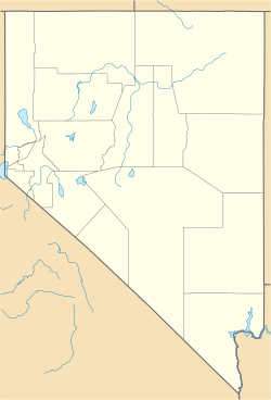
Logan Creek is a small community in the United States. It is located in Douglas County, Nevada. This area is on the eastern shore of Lake Tahoe.
Logan Creek is called a census-designated place (CDP). This means it is an area that the government counts for population. But it is not an officially incorporated town or city. In 2010, only 26 people lived there.
Where is Logan Creek?
Logan Creek is found along a major road called U.S. Route 50. It is north of another place called Lakeridge. It is also south of Glenbrook.
If you travel about 16 miles (26 kilometers) east on US-50, you will reach Carson City. Carson City is the capital city of Nevada.
Area Size
The United States Census Bureau measures the size of places like Logan Creek. The total area of Logan Creek is about 4.7 square kilometers (1.8 square miles).
Most of this area is land, about 4.5 square kilometers (1.75 square miles). A small part is water, which is about 0.1 square kilometers (0.04 square miles). This means about 3% of Logan Creek's area is water.
How Many People Live Here?
The number of people living in a place is called its population. This information is collected during a census. A census is a count of all people in a country.
Logan Creek is a very small community. Here is how its population has changed:
This shows that more people have moved to Logan Creek over time.
| Historical population | |||
|---|---|---|---|
| Census | Pop. | %± | |
| 2010 | 26 | — | |
| 2020 | 40 | 53.8% | |
| U.S. Decennial Census | |||
See also
 In Spanish: Logan Creek para niños
 | Selma Burke |
 | Pauline Powell Burns |
 | Frederick J. Brown |
 | Robert Blackburn |


