Lower Otay Reservoir facts for kids
Quick facts for kids Lower Otay Reservoir |
|
|---|---|
 |
|
| Location | San Diego County, California |
| Coordinates | 32°38′14″N 116°55′30″W / 32.6372°N 116.9249°W |
| Type | Reservoir |
| Part of | Otay and Proctor Valleys |
| Primary inflows | Otay River San Diego Aqueduct |
| Primary outflows | Otay River |
| Basin countries | United States |
| Surface area | 1,100 acres (450 ha) |
| Average depth | 124 ft (38 m) (August 2009) |
| Max. depth | 137.5 ft (41.9 m) |
| Water volume | 49,500 acre⋅ft (61.1×10⁶ m3) |
| Shore length1 | 25 mi (40 km) |
| Surface elevation | 381 ft (116 m) |
| 1 Shore length is not a well-defined measure. | |
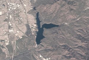
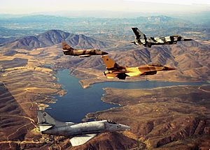
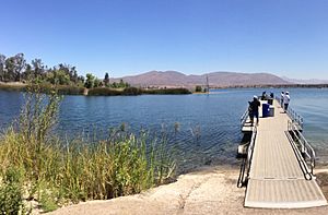
The Lower Otay Reservoir is a large lake in San Diego County, southern California. It's surrounded by natural areas and the city of Chula Vista. This reservoir is an important source of water for the area.
The reservoir was created by building a dam across the Otay River. This dam is called Savage Dam and was finished in 1918. The reservoir also receives water from the San Diego Aqueduct, which brings water all the way from the Colorado River. The City of San Diego owns and manages both the dam and the reservoir.
History of Lower Otay Reservoir

The land where the Lower Otay Reservoir is located was once part of a large ranch called Rancho Janal. The first version of Lower Otay Reservoir was built in 1897. This happened after the Southern California Mountain Water Company built the original Lower Otay Dam. This first dam was made of rock and was about 125 feet (38 m) tall.
In 1900, John D. Spreckels bought the land around the reservoir. Later, a company he owned took over the reservoir itself. There was even a hunting lodge near the lake. Guests from the famous Hotel del Coronado would use this lodge.
The Great Flood of 1916
The original dam broke in January 1916 after very heavy rains. These rains caused big floods across most of Southern California. A huge wall of water, between 20 to 100 feet (6.1 to 30.5 m) high, rushed through the Otay Valley. Sadly, more than 14 people lost their lives.
The flood washed away many farms and buildings. This included the home of the Montgomery family near the river's mouth. This was where John Joseph Montgomery had built his first manned gliders. Some people believed the heavy rains were caused by a "rainmaker" named Charles Hatfield. He had been hired by the City of San Diego to help fill another nearby reservoir, Morena Reservoir. He was never charged with any crimes related to the flood.
After this disaster, a new and stronger dam was built. This new dam is an Arch-gravity dam. In 1934, it was named Savage Dam to honor Hiram Newton Savage. He was the city engineer who oversaw its construction.
Discovery of a Historic Plane
In February 2009, a bass fisherman spotted something unusual in the lake. It was a Curtiss SB2C Helldiver plane! This plane had crashed there on May 28, 1945. It was on a practice bombing run from an aircraft carrier nearby when its engine stopped. The pilots had to make an emergency landing in the reservoir.
Divers explored the plane in July 2009 to see if it could be saved. They hoped to put it in a museum. On August 20, 2010, the plane was successfully raised from the lake.
 | Sharif Bey |
 | Hale Woodruff |
 | Richmond Barthé |
 | Purvis Young |


