Maud, Texas facts for kids
Quick facts for kids
Maud, Texas
|
|
|---|---|

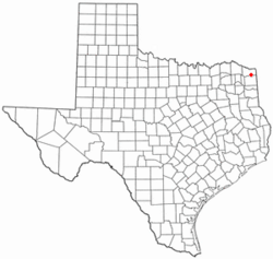
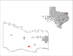
Location of Maud, Texas
|
|
 |
|
| Country | United States |
| State | Texas |
| County | Bowie |
| Area | |
| • Total | 1.49 sq mi (3.86 km2) |
| • Land | 1.49 sq mi (3.86 km2) |
| • Water | 0 sq mi (0.00 km2) |
| Elevation | 302 ft (92 m) |
| Population
(2020)
|
|
| • Total | 977 |
| • Density | 699.1/sq mi (269.91/km2) |
| Time zone | UTC-6 (Central (CST)) |
| • Summer (DST) | UTC-5 (CDT) |
| ZIP code |
75567
|
| Area code(s) | 903, 430 |
| FIPS code | 48-47088 |
| GNIS feature ID | 2411051 |
Maud is a small city in Bowie County, Texas, United States. It is part of the Texarkana metropolitan area. In 2020, about 977 people lived there.
History of Maud
Maud is located near the St. Louis Southwestern Railway and U.S. Highway 67. This area, once called the Red River Country, was settled quite early. However, problems like land claims and outlaws made it hard for the area to grow. Before Maud became a city, an old road called Trammel Trace passed nearby. People used Epperson's Ferry to cross the Sulphur River there.
A community started to form after a railroad reached the area in 1870. The town was named after Maud Knapp. She was the daughter of Samuel D. Knapp, who was the first postmaster. He also donated the land for the town. A post office opened in 1881. It closed briefly but reopened in 1893.
By 1910, about 300 people lived in Maud. This number grew to 750 by 1940. During World War II, two large military bases were built nearby. These were the Red River Army Depot and the Lone Star Army Ammunition Plant. They were about 6 miles north of Maud. These bases created many jobs for the people living in Maud. In 1982, Maud had about 1,059 residents. The military bases continued to be the biggest employers. By 1990, the population was 1,049.
Where is Maud?
Maud is in the southern part of Bowie County. U.S. Route 67 goes right through the middle of town. This highway leads northeast 18 miles to Texarkana. It also goes southwest 43 miles to Mount Pleasant.
Texas State Highway 8 goes south from Maud 23 miles to Linden. It goes north 13 miles to New Boston. The city is also about 4 miles north of Wright Patman Lake. This lake is a reservoir on the Sulphur River. The city of Maud covers an area of about 1.49 square miles (3.9 square kilometers), and it's all land.
Weather in Maud
The weather in Maud has hot and humid summers. Winters are usually mild to cool. According to the Köppen Climate Classification system, Maud has a humid subtropical climate. This means it gets plenty of rain all year.
People in Maud
| Historical population | |||
|---|---|---|---|
| Census | Pop. | %± | |
| 1950 | 713 | — | |
| 1960 | 915 | 28.3% | |
| 1970 | 1,107 | 21.0% | |
| 1980 | 1,059 | −4.3% | |
| 1990 | 1,049 | −0.9% | |
| 2000 | 1,028 | −2.0% | |
| 2010 | 1,056 | 2.7% | |
| 2020 | 977 | −7.5% | |
| U.S. Decennial Census | |||
In 2020, there were 977 people living in Maud. There were 442 households and 259 families.
The population of Maud has changed over the years. In 1950, there were 713 residents. The population grew to its highest point of 1,107 people in 1970. However, by 2020, the population had gone down to 977 residents.
Most people in Maud are White. In 2020, about 85.26% of the people were White (not Hispanic). About 4.4% were Black or African American. About 5.42% of the population was Hispanic or Latino.
The average income for households in Maud was $46,447.
Schools in Maud
Students in Maud attend schools in the Maud Independent School District.
See also
 In Spanish: Maud (Texas) para niños
 | Shirley Ann Jackson |
 | Garett Morgan |
 | J. Ernest Wilkins Jr. |
 | Elijah McCoy |

