Montezuma Island facts for kids

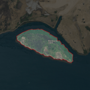
USGS aerial imagery of Montezuma Island
|
|
| Geography | |
|---|---|
| Location | Northern California |
| Coordinates | 38°04′28″N 121°50′23″W / 38.07444°N 121.83972°W |
| Adjacent bodies of water | Sacramento–San Joaquin River Delta |
| Highest elevation | 7 ft (2.1 m) |
| Administration | |
|
United States
|
|
| State | |
| County | Sacramento |

Montezuma Island is a small piece of land surrounded by water. It is located in Suisun Bay, which is part of the larger San Francisco Bay area in California. The island is also found near where the Sacramento–San Joaquin River Delta meets the bay.
The island belongs to Sacramento County. Unlike many other islands in the area, it doesn't have a special "reclamation district" managing its water levels. Scientists measured its height in 1981, and it's about 7 feet (2.1 meters) above sea level.
Island History
Montezuma Island has been known by different names over time. On an 1850 map of the San Francisco Bay Area, it was called "Burnett Island." A few years later, in 1854, another map showed the island but didn't give it a name.
Where is Montezuma Island?
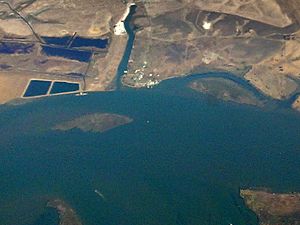
This island is located in Northern California. It sits within the waters of the Sacramento–San Joaquin River Delta. This delta is a very important area where two big rivers, the Sacramento and San Joaquin, meet before flowing into the San Francisco Bay.
 | Emma Amos |
 | Edward Mitchell Bannister |
 | Larry D. Alexander |
 | Ernie Barnes |


