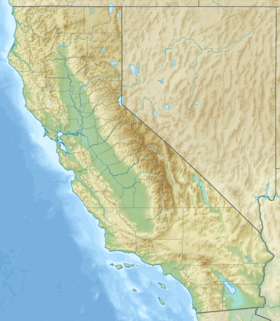
Mount Chual is a tall mountain peak in the Santa Cruz Mountains. You can find it in the southwestern part of Santa Clara County, California, in the United States. This landmark is about 10 miles (16 km) west of Morgan Hill. It is also close to another peak called Loma Prieta. Mount Chual is the third highest peak in the Santa Cruz Mountains. Many small streams that flow into Llagas Creek begin on the southern and eastern sides of the mountain.
Mount Chual: A California Peak
What's in a Name?
The name of this mountain first appeared on a map in 1848. This map was made during the Mexican era and called the peak "Picacho de Chual." The word "chual" comes from Spanish. It refers to an edible plant called chenopodium californicum. This plant is also known as common pigweed or goosefoot. It's a type of wild lettuce that people can eat.
Modern Use and Protection
The very top of Mount Chual has a special radio communications facility. This facility has been working since 1965. Today, the peak and the land around it are owned by the Santa Clara Valley Open Space Authority. This group helps protect natural areas for everyone to enjoy.


