Mount Sterling (Great Smoky Mountains) facts for kids

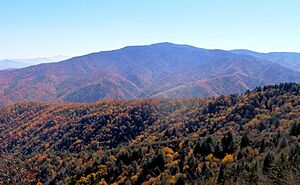
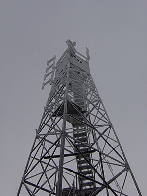
Mount Sterling is a tall mountain located in the Great Smoky Mountains. It sits on the border between Haywood County, North Carolina and Cocke County, Tennessee, in the southeastern United States. This mountain reaches a height of about 5,842 feet (1,781 meters) above sea level. At the very top, there's an old fire tower that offers amazing views of the mountains around it.
Mount Sterling is the highest point on Mount Sterling Ridge. This ridge is about 7 miles (11 kilometers) long and slowly slopes down towards the Pigeon River valley. The ridge acts like a natural divider. To the east, it separates the Cataloochee area, and to the west, it separates the Big Creek Valley, which is close to Cosby. Two small towns, Mount Sterling, North Carolina, and Waterville, North Carolina, are found in the Pigeon River valley at the northern end of the ridge.
The rocks that make up Mount Sterling are very old. They are mostly a type of rock called metamorphic sandstone, which formed almost a billion years ago from old ocean sediments. The very top of Mount Sterling is covered by a special type of forest called a Southern Appalachian spruce-fir forest.
Contents
History of Mount Sterling
The mountain got its name from an interesting mistake! Early settlers in the area thought they found a 2-foot (0.6-meter) wide streak of lead in the Pigeon River, at the base of the mountain. They thought it was silver, which is a much more valuable metal. So, they called the mountain "Sterling," like sterling silver. The Big Creek campground, which is at the northern base of Mount Sterling Ridge, used to be a community called Mount Sterling, North Carolina.
Mount Sterling During the Civil War
During the U.S. Civil War, the remote valleys around Mount Sterling and Cataloochee became places where soldiers who had left their armies would hide. Both Union and Confederate soldiers often came into the area looking for these deserters. People also used a trail that went over Mount Sterling to travel between Cosby and Cataloochee. This area was known for being a dangerous place during the war, with many conflicts and raids.
Old Towns and Logging
Around 1903, a company called Cataloochee Lumber Company built a village named Crestmont. It was located at the northwest base of Mount Sterling. This village was home to the workers who cut down trees in the Big Creek Valley and operated a timber mill. Crestmont was a busy place until 1907, when the logging work in that specific area finished.
Later, in the late 1920s, another company, Carolina Power and Light Company, built the community of Waterville. This town was at the northern base of the mountain, where Big Creek meets the Pigeon River. Waterville was home to the workers who operated the company's Walters Plant, which helped power a reservoir further upstream. While some parts of Waterville still exist today, Crestmont became part of the Great Smoky Mountains National Park in the 1930s. It was then turned into what we now know as the Big Creek Campground.
Protecting the Forests
In 1963, a serious problem for the trees was first noticed at the top of Mount Sterling. This was the balsam wooly adelgid infestation. This tiny insect caused a lot of damage and killed many of the Fraser fir trees in the park.
How to Visit Mount Sterling
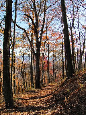
There's a long gravel road that connects the Big Creek ranger station (near Waterville) to the Cataloochee Campground. About halfway along this road, at a spot called Mount Sterling Gap, you'll find the start of the Mount Sterling Trail. This trail is about 2.7 miles (4.3 kilometers) long and leads up to the mountain's summit.
Other trails also connect to Mount Sterling. The Mount Sterling Ridge Trail is about 5.3 miles (8.5 kilometers) long and follows the top of the ridge from Laurel Gap to the summit. The Baxter Creek Trail is 6.1 miles (9.8 kilometers) long and connects the summit to the Big Creek Campground to the north. These two trails are part of the longer Benton MacKaye Trail. You can also find the Pretty Hollow Gap Trail, which connects Mount Sterling to Cataloochee to the east, and the Swallow Fork Trail, which connects the mountain to Walnut Bottom in the Big Creek Valley to the west.
 | Anna J. Cooper |
 | Mary McLeod Bethune |
 | Lillie Mae Bradford |


