National Register of Historic Places listings in McLean County, Kentucky facts for kids
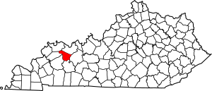
This page lists important places in McLean County, Kentucky, United States, that are part of the National Register of Historic Places. This is a special list kept by the U.S. government to protect buildings, sites, and objects that are important to history. Think of it like a hall of fame for historic places!
There are 9 places in McLean County on this list. Six of these are part of a much larger historic area called the Green River Shell Middens Archeological District. This district spreads across several counties and is very important for understanding ancient people who lived along the Green River.
Contents
Historic Places in McLean County
This section describes the cool historic spots you can find in McLean County.
Archaeological Site 15McL18
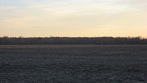
This is an ancient site located on the left bank of the Green River, about 1.5 miles below where the Rough River joins it. It's near the town of Livermore. This site was added to the National Register on March 15, 1982. It helps us learn about early human life in the area.
Archaeological Site 15McL16
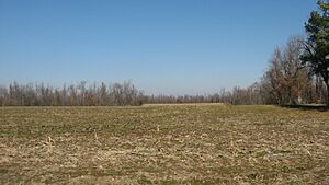
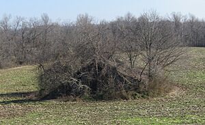
You can find this ancient site on the left bank of the Green River, right above the town of Rumsey. It was added to the list on April 1, 1986. This site is part of the larger Green River Shell Middens Archeological District. Shell middens are basically ancient trash heaps made of shells, which tell us a lot about what people ate and how they lived long ago.
Archaeological Site 15McL17
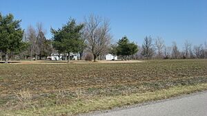
This site is located above the right bank of the Rough River, about 1.5 miles east of Livermore. It was also added to the National Register on April 1, 1986. Like many other sites in the area, it's part of the Green River Shell Middens Archeological District.
Austin Site (15McL15)
The Austin Site is another important archaeological spot. It's on the left bank of the Green River, about 4 miles below Calhoun. This site became part of the National Register on April 1, 1986. It's also a key part of the Green River Shell Middens Archeological District, showing us more about the ancient people who lived by the river.
Battle of Sacramento Battlefield
This historic battlefield is located at the meeting point of Kentucky Routes 81 and 85 in Sacramento. It was added to the National Register on March 24, 1998. This site remembers the Battle of Sacramento, a small but important battle during the American Civil War.
Butterfield Site (15McL7)
The Butterfield Site is on the southern bank of the Green River, right across from where the Rough River flows into it, near Livermore. It was added to the National Register on April 1, 1986. This site is another piece of the puzzle that makes up the Green River Shell Middens Archeological District.
Crowe Shell Midden (15McL109)
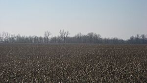
This shell midden is on the left bank of the Green River, about 1 mile above Livermore, near Kirtley. It joined the National Register on April 1, 1986. The Crowe Shell Midden is also part of the larger Green River Shell Middens Archeological District, giving us clues about ancient diets and lifestyles.
R.D. Ford Shell Midden (15McL2)
You can find the R.D. Ford Shell Midden along the Green River, off Kentucky Route 256, west of Calhoun, near Ashbyburg. It was added to the National Register on April 1, 1986. This site is another important part of the Green River Shell Middens Archeological District.
Griffith-Franklin House
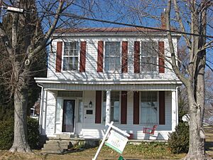
The Griffith-Franklin House is a historic building located at 207 West 2nd Street in Calhoun. It was added to the National Register on July 7, 1975. This house is a great example of historic architecture in the area.


