Pancrudo facts for kids
Quick facts for kids
Pancrudo
|
|
|---|---|
| Country | |
| Autonomous community | |
| Province | Teruel |
| Comarca | Comunidad de Teruel |
| Area | |
| • Total | 100.12 km2 (38.66 sq mi) |
| Elevation | 1,235 m (4,052 ft) |
| Population
(2018)
|
|
| • Total | 110 |
| • Density | 1.10/km2 (2.85/sq mi) |
| Time zone | UTC+1 (CET) |
| • Summer (DST) | UTC+2 (CEST) |
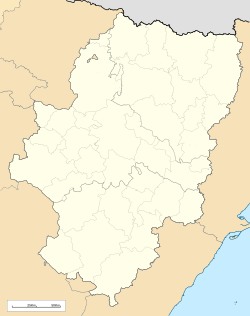
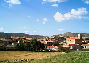
Pancrudo is a small town, also called a municipality. It is located in the Teruel Community area of Teruel province, in the Aragon region of Spain.
As of 2018, about 110 people live in Pancrudo. Its postal code is 44720. The town is about 56 kilometers (35 miles) away from Teruel, which is the capital city of the province.
Where is Pancrudo?
Pancrudo is found high up in the mountains. These mountains are part of a large range called the Sistema Ibérico. The area is known for its beautiful natural scenery.
Who Runs Pancrudo?
The leader of Pancrudo is called the mayor. The current mayor is Mr. Manuel Tolosa Sancho. He belongs to a political group called the Partido Socialista Obrero Español.
Local Government
The local government in Pancrudo is called the ayuntamiento. It is like a town hall. The mayor's party, the Partido Socialista Obrero Español, has three members, called councillors, in the ayuntamiento. Another political group, the Partido Aragonés, has the other two councillors.
In the 2004 Spanish General Election, the Partido Socialista Obrero Español received the most votes in Pancrudo. The Partido Popular also got many votes. Other parties like the Partido Aragonés, Chunta Aragonesista, and Izquierda Unida also received some support.
Villages in Pancrudo
The municipality of Pancrudo includes a few smaller villages. These villages are:
- Pancrudo (the main town)
- Cervera de Pancrudo
- Cuevas de Portalrubio
- Portalrubio
See also
 In Spanish: Pancrudo para niños
 | Claudette Colvin |
 | Myrlie Evers-Williams |
 | Alberta Odell Jones |


